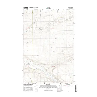
2017 Map of Marlin
USGS Topo · Published 2017About this map
Marlin anchors the southwest corner of this study, positioned where the valley floor of Crab Creek meets the elevated terrain of the Columbia Plateau. The landscape is defined by the significant hydrological systems of Crab Creek and Canniwai Creek, which have carved distinct topographical features into the basaltic landscape, including the broad Canniwai Valley and the smaller Marlin Hollow. This survey captures the rural layout of eastern Washington, where a network of local roads such as Kanniwai Valley Rd and Schlimmer Rd E follows the section lines of the Public Land Survey System.
Find a feature on this map
32 named features on this map. Tap any name to fly to it.
Don’t see what you’re looking for? This feature index may not catch every label — zoom into the map to look around manually.
Map Details
Editions of this 2017 Marlin Map
This is the sole edition of this map. No revisions or reprints were ever made.
Other maps of this area

1953 · Ritzville
USGS Topo · 1:250,000

1956 · Wilson Creek SE
USGS Topo · 1:24,000

1956 · Wilson Creek
USGS Topo · 1:62,500

1959 · Ritzville
USGS Topo · 1:250,000

1965 · Ritzville
USGS Topo · 1:250,000

1968 · Marlin SW
USGS Topo · 1:24,000

1968 · Irby
USGS Topo · 1:24,000

1968 · Marlin
USGS Topo · 1:24,000

1968 · Hartline SE
USGS Topo · 1:24,000

1968 · Sullivan Lake
USGS Topo · 1:24,000