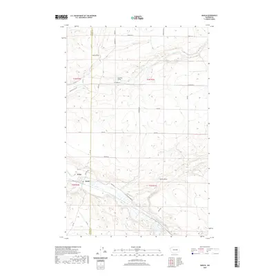
2020 Map of Marlin
USGS Topo · Published 2020About this map
Marlin and the incorporated town of Krupp anchor this section of the Big Bend country along the Crab Creek valley. The map documents the intricate network of coulees and draws that define the local topography, with Gibson Draw and Canniwai Valley cutting through the uplands. The intersection of rural infrastructure and natural drainage is evident where Marlin Rd follows the contours of Marlin Hollow toward the town site. Local water features like Peterson Lake and Canniwai Cr illustrate the drainage patterns of this semi-arid landscape. The survey also captures the precise boundary between Grant County and Lincoln County, providing a clear record of property and political divisions as they existed in the early 21st century.
Find a feature on this map
34 named features on this map. Tap any name to fly to it.
Don’t see what you’re looking for? This feature index may not catch every label — zoom into the map to look around manually.
Map Details
Editions of this 2020 Marlin Map
This is the sole edition of this map. No revisions or reprints were ever made.
Other maps of this area

1953 · Ritzville
USGS Topo · 1:250,000

1956 · Wilson Creek SE
USGS Topo · 1:24,000

1956 · Wilson Creek
USGS Topo · 1:62,500

1959 · Ritzville
USGS Topo · 1:250,000

1965 · Ritzville
USGS Topo · 1:250,000

1968 · Marlin SW
USGS Topo · 1:24,000

1968 · Irby
USGS Topo · 1:24,000

1968 · Marlin
USGS Topo · 1:24,000

1968 · Hartline SE
USGS Topo · 1:24,000

1968 · Sullivan Lake
USGS Topo · 1:24,000