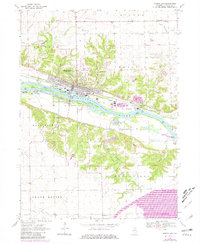
1970 Map of Marseilles
USGS Topo · Published 1981About this map
The industrial and riverfront character of Marseilles is centered on the Illinois River, where the Marseilles Dam and a series of islands including Bells Island and Clarks Island define the waterway. This 1970s era documentation, with later revisions, shows the historic Illinois and Michigan Canal running parallel to the river, a relic of earlier transportation bypassed by the Chicago Rock Island and Pacific railroad. The map records a dense concentration of family and local burial sites, such as Old Brumbach Cem, Riverview Cem, and Christian Cem, providing a detailed record for genealogical research in the surrounding townships of Manlius and Fall River. South of the river, Illini State Park and various landing strips like the Mitchell Landing Strip show the 20th-century transition toward recreation and light aviation.
Find a feature on this map
47 named features on this map. Tap any name to fly to it.
Don’t see what you’re looking for? This feature index may not catch every label — zoom into the map to look around manually.
Map Details
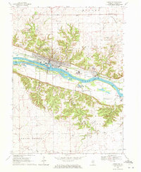
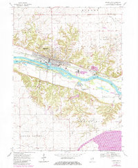
Editions of this 1970 Marseilles Map
3 editions found
Other maps of this area

1892 · Marseilles
USGS Topo · 1:62,500

1892 · Ottawa
USGS Topo · 1:62,500

1915 · Ottawa
USGS Topo · 1:62,500

1916 · Marseilles
USGS Topo · 1:62,500

1925 · Streator
USGS Topo · 1:62,500

1927 · Streator
USGS Topo · 1:62,500

1940 · Marseilles
USGS Topo · 1:62,500

1946 · Ottawa
USGS Topo · 1:62,500

1958 · Odell
USGS Topo · 1:62,500

1958 · Aurora
USGS Topo · 1:250,000