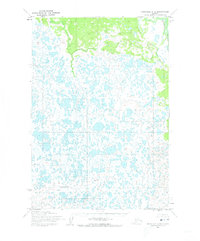
1954 Map of Marshall C-2
USGS Topo · Published 1973About this map
Izaviknek River meanders across the southern reaches of this landscape, carving a serpentine path through an expansive network of wetlands and tundra lakes. The map reflects a 1951 aerial survey of the Seward Meridian, capturing a remote Alaskan environment defined by hundreds of unnamed water bodies and saturated terrain. In the northeast corner, the Reindeer River flows through a slightly more elevated and forested corridor, providing a stark contrast to the low-lying lacustrine plains that dominate the central and western sections of the quadrangle. While the area lacks developed roads or permanent settlements in this era, the intricate drainage patterns and predetermined land lines from the Bureau of Land Management highlight the early stages of formal geographic documentation in this region.
Find a feature on this map
2 named features on this map. Tap any name to fly to it.
Don’t see what you’re looking for? This feature index may not catch every label — zoom into the map to look around manually.
Map Details
Editions of this 1954 Marshall C-2 Map
3 editions found
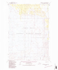
Other maps of this area

1951 · Marshall
USGS Topo · 1:250,000

1952 · Marshall C-1
USGS Topo · 1:63,360
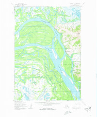
1952 · Marshall D-1
USGS Topo · 1:63,360
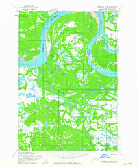
1952 · Marshall D-2
USGS Topo · 1:63,360

1952 · Marshall D-3
USGS Topo · 1:63,360

1954 · Marshall C-3
USGS Topo · 1:63,360
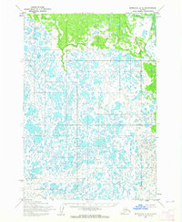
1954 · Marshall C-2
USGS Topo · 1:63,360

1954 · Marshall B-3
USGS Topo · 1:63,360
1954 · Marshall B-2
USGS Topo · 1:63,360
1954 · Marshall B-1
USGS Topo · 1:63,360