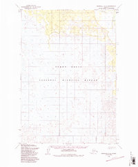
1954 Map of Marshall C-2
USGS Topo · Published 1988About this map
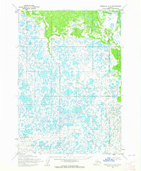
Yukon Delta National Wildlife Refuge dominates this mid-century topographic survey, illustrating a landscape defined by an intricate network of wetlands, sloughs, and low-lying alluvial plains. The primary hydrographic feature, the Reindeer R, flows through the northeastern corner, cutting through terrain that transitions between marshes and slight upland rises. This 1954 field-annotated map provides a baseline for the remote geography of the Kusilvak region before the formal establishment of current federal reservation boundaries in 1980. The lack of settlements or roads underscores the wilderness character of the Yukon Delta during this era, where the physical environment remained largely shaped by natural riverine processes and seasonal shifts. Researchers can examine the precise meanders and topography of this undeveloped stretch of Alaskan tundra as it existed prior to modern environmental management frameworks.
Find a feature on this map
8 named features on this map. Tap any name to fly to it.
Don’t see what you’re looking for? This feature index may not catch every label — zoom into the map to look around manually.
Map Details
Editions of this 1954 Marshall C-2 Map
3 editions found
Other maps of this area

1951 · Marshall
USGS Topo · 1:250,000

1952 · Marshall C-1
USGS Topo · 1:63,360
1952 · Marshall D-1
USGS Topo · 1:63,360
1952 · Marshall D-2
USGS Topo · 1:63,360

1952 · Marshall D-3
USGS Topo · 1:63,360

1954 · Marshall C-3
USGS Topo · 1:63,360
1954 · Marshall C-2
USGS Topo · 1:63,360

1954 · Marshall B-3
USGS Topo · 1:63,360
1954 · Marshall B-2
USGS Topo · 1:63,360
1954 · Marshall B-1
USGS Topo · 1:63,360