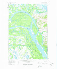
1952 Map of Marshall D-1
USGS Topo · Published 1963About this map
The Yukon River dominates this 1950s landscape, carving a massive arc through a complex network of wetlands and side channels. Along its eastern bank, the settlement of Marshall (Fortuna Ledge PO) serves as a primary hub, situated near the base of Pilcher Mountain. The map illustrates a transitional subarctic environment where the river is the primary artery for movement, supported by seasonal infrastructure like the Winter Trail and a single Telephone Line connecting remote points.
Find a feature on this map
22 named features on this map. Tap any name to fly to it.
Don’t see what you’re looking for? This feature index may not catch every label — zoom into the map to look around manually.
Map Details
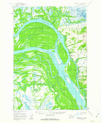
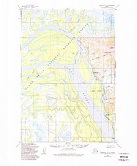
Editions of this 1952 Marshall D-1 Map
3 editions found
Other maps of this area

1947 · Russian Mission
USGS Topo · 1:250,000

1950 · Russian Mission
USGS Topo · 1:250,000

1951 · Marshall
USGS Topo · 1:250,000

1951 · Holy Cross
USGS Topo · 1:250,000

1952 · Kwiguk
USGS Topo · 1:250,000

1952 · Kwiguk A-1
USGS Topo · 1:63,360

1952 · Holy Cross A-6
USGS Topo · 1:63,360

1952 · Holy Cross
USGS Topo · 1:250,000

1952 · Russian Mission C-8
USGS Topo · 1:63,360
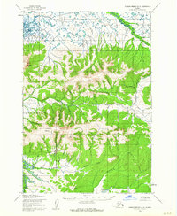
1952 · Russian Mission D-8
USGS Topo · 1:63,360