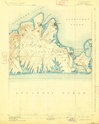
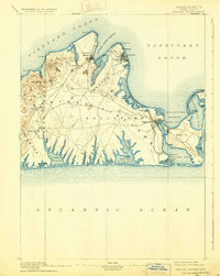
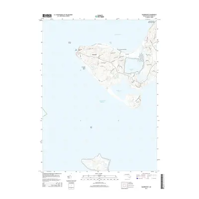
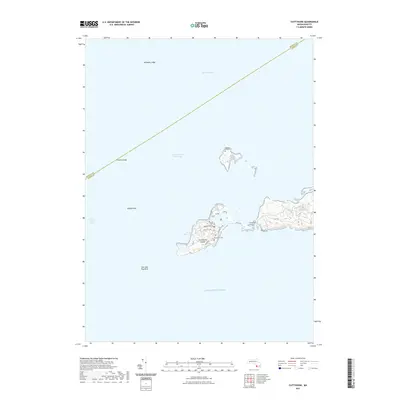
1894 Map of Marthas Vineyard
USGS Topo · Published 1927About this map
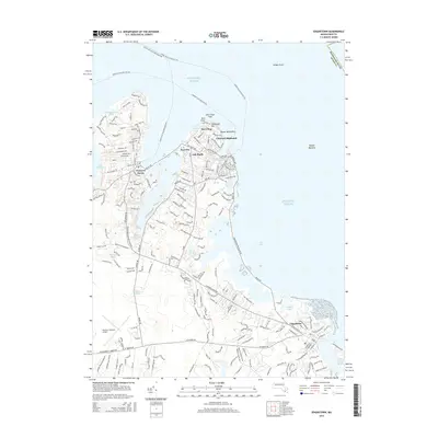
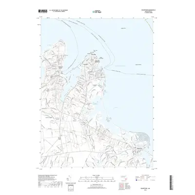
Vineyard Sound and Nantucket Sound define the rugged coastal geometry of this late 19th-century island landscape. The map captures a moment when the island's eastern shores were transitioning into prominent summer destinations, with Cottage City and Oak Bluffs showing dense residential grids adjacent to Lagoon Pond. Further south, the maritime heritage of the island is anchored by Edgartown and its surrounding waters, including the expansive Chappaquiddick and Katama Bay.
Find a feature on this map
67 named features on this map. Tap any name to fly to it.
Don’t see what you’re looking for? This feature index may not catch every label — zoom into the map to look around manually.
Map Details
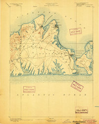
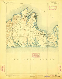
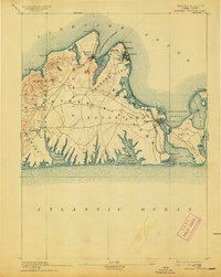
Editions of this 1894 Marthas Vineyard Map
7 editions found

Historical Maps of Falmouth Through Time
75 maps found

1887 Gay Head
Dukes County, MA

1887 Marthas Vineyard
Dukes County, MA

1889 Gay Head
Dukes County, MA

1889 Marthas Vineyard
Dukes County, MA

1893 Gay Head
Dukes County, MA

1894 Marthas Vineyard
Dukes County, MA

1942 Marthas Vineyard
Dukes County, MA

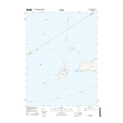
1944 Cuttyhunk
Dukes County, MA

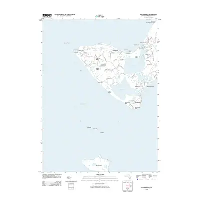
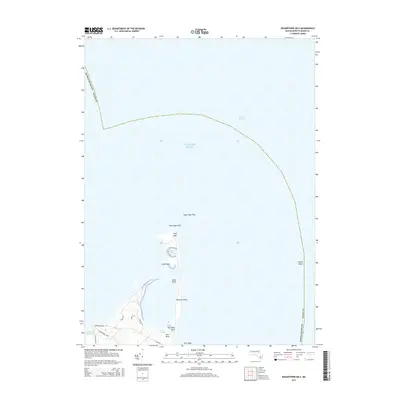
1944 Edgartown
Dukes County, MA

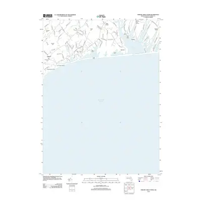
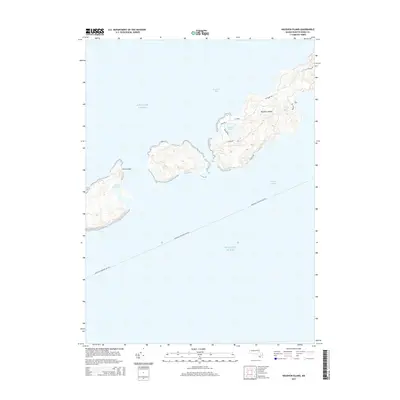
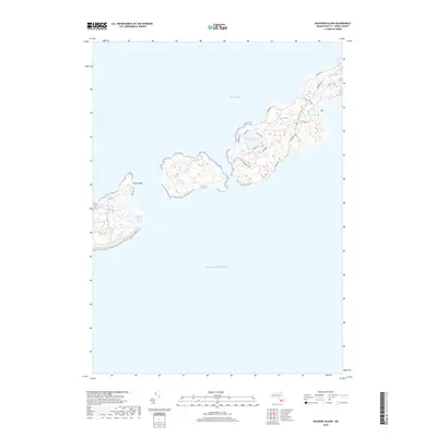
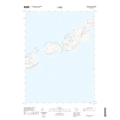
1944 Naushon Island
Dukes County, MA

1944 Squibnocket
Dukes County, MA

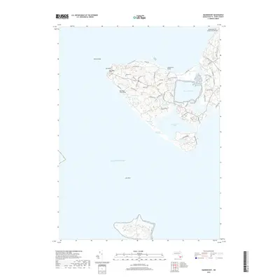
1944 Tisbury Great Pond
Dukes County, MA

1949 Naushon Island
Dukes County, MA

1951 Cuttyhunk
Dukes County, MA

1951 Edgartown
Dukes County, MA

1951 Squibnocket
Dukes County, MA

1951 Tisbury Great Pond
Dukes County, MA

1972 Cuttyhunk
Dukes County, MA

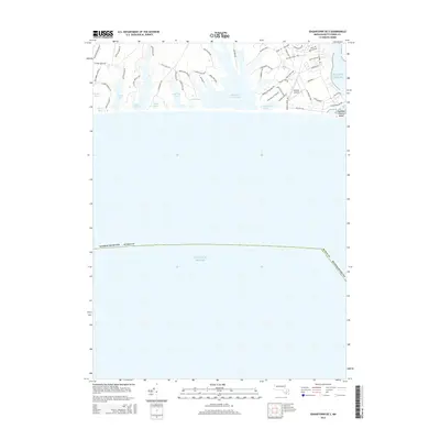
1972 Edgartown
Dukes County, MA

1972 Naushon Island
Dukes County, MA

1972 Squibnocket
Dukes County, MA

1972 Tisbury Great Pond
Dukes County, MA

1977 Cuttyhunk
Dukes County, MA

1977 Edgartown
Dukes County, MA

1977 Naushon Island
Dukes County, MA

1977 Squibnocket
Dukes County, MA

1977 Tisbury Great Pond
Dukes County, MA

1986 Martha's Vineyard
Dukes County, MA

1994 Martha's Vineyard
Dukes County, MA
2012 Cuttyhunk
Dukes County, MA
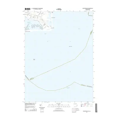
2012 Edgartown
Dukes County, MA
2012 Edgartown OE E
Dukes County, MA
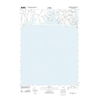
2012 Edgartown OE S
Dukes County, MA
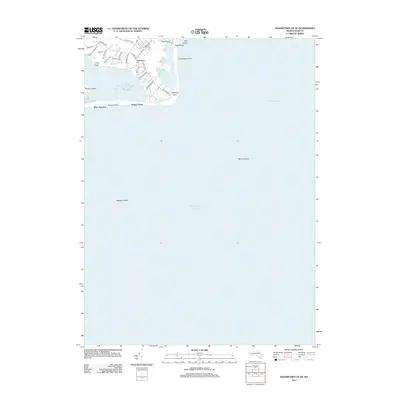
2012 Edgartown OE SE
Dukes County, MA
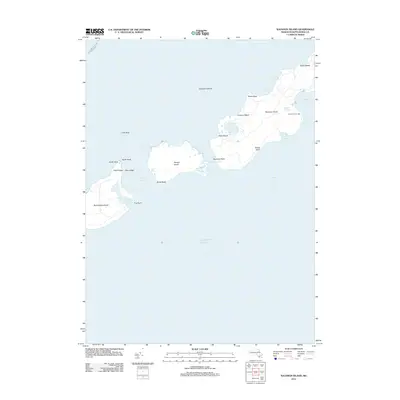
2012 Naushon Island
Dukes County, MA
2012 Squibnocket
Dukes County, MA
2012 Squibnocket OE S
Dukes County, MA
2012 Tisbury Great Pond
Dukes County, MA
2015 Cuttyhunk
Dukes County, MA
2015 Edgartown
Dukes County, MA
2015 Edgartown OE E
Dukes County, MA
2015 Edgartown OE S
Dukes County, MA
2015 Edgartown OE SE
Dukes County, MA
2015 Naushon Island
Dukes County, MA
2015 Squibnocket
Dukes County, MA
2015 Squibnocket OE S
Dukes County, MA
2015 Tisbury Great Pond
Dukes County, MA
2018 Cuttyhunk
Dukes County, MA
2018 Edgartown
Dukes County, MA
2018 Edgartown OE E
Dukes County, MA
2018 Edgartown OE S
Dukes County, MA
2018 Edgartown OE SE
Dukes County, MA
2018 Naushon Island
Dukes County, MA
2018 Squibnocket
Dukes County, MA
2018 Squibnocket OE S
Dukes County, MA
2018 Tisbury Great Pond
Dukes County, MA
2021 Cuttyhunk
Dukes County, MA

2021 Edgartown
Dukes County, MA
2021 Edgartown OE E
Dukes County, MA
2021 Edgartown OE S
Dukes County, MA
2021 Edgartown OE SE
Dukes County, MA
2021 Naushon Island
Dukes County, MA
2021 Squibnocket
Dukes County, MA
2021 Squibnocket OE S
Dukes County, MA
2021 Tisbury Great Pond
Dukes County, MA

2023 Edgartown
Dukes County, MA

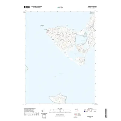
2024 Cuttyhunk
Dukes County, MA

2024 Edgartown
Dukes County, MA

2024 Edgartown OE E
Dukes County, MA

2024 Edgartown OE S
Dukes County, MA

2024 Edgartown OE SE
Dukes County, MA

2024 Naushon Island
Dukes County, MA

2024 Squibnocket
Dukes County, MA

2024 Squibnocket OE S
Dukes County, MA

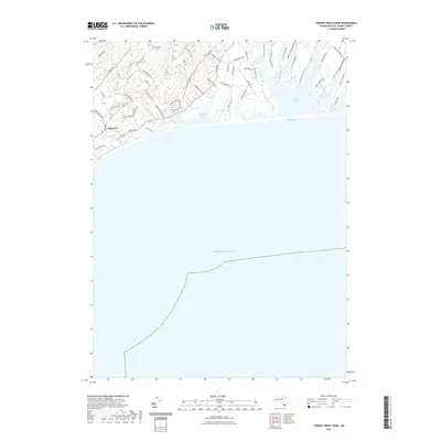
2024 Tisbury Great Pond
Dukes County, MA