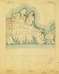
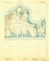
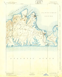
1894 Map of Marthas Vineyard
USGS Topo · Published 1913About this map
The Marthas Vineyard R. R. follows the eastern shoreline in this late nineteenth-century coastal study, connecting the growing hubs of Cottage City and Edgartown. This era represents a significant period of development for the island, where the established maritime identity of ports like Vineyard Haven meets the rise of seasonal retreats in Oak Bluffs and Highlands. The interior remains characterized by agricultural settlements such as West Tisbury and North Tisbury, set against a landscape of glacial topography like Indian Hill.
Find a feature on this map
66 named features on this map. Tap any name to fly to it.
Don’t see what you’re looking for? This feature index may not catch every label — zoom into the map to look around manually.
Map Details
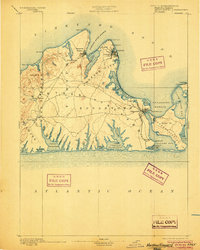
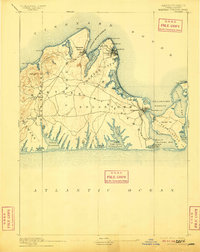
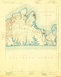
Editions of this 1894 Marthas Vineyard Map
7 editions found

Other maps of this area

1886 · Falmouth
USGS Topo · 1:62,500

1887 · Gay Head
USGS Topo · 1:62,500

1887 · Muskeget
USGS Topo · 1:62,500

1887 · Marthas Vineyard
USGS Topo · 1:62,500

1888 · Falmouth
USGS Topo · 1:62,500

1889 · Muskeget
USGS Topo · 1:62,500

1889 · Gay Head
USGS Topo · 1:62,500

1889 · Marthas Vineyard
USGS Topo · 1:62,500

1893 · Muskeget
USGS Topo · 1:62,500

1893 · Gay Head
USGS Topo · 1:62,500