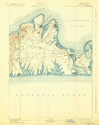
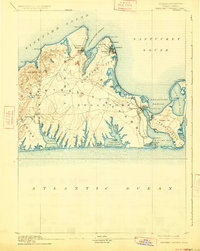
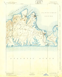
1894 Map of Marthas Vineyard
USGS Topo · Published 1932About this map
Cottage City and the developing coastal towns of the late 19th century dominate the northeastern landscape of this island survey. The map depicts a transitional period when the Marthas Vineyard R. R. connected the major settlements, tracing a route along the eastern shore toward Katama. This rail infrastructure highlights the island's growth as a premier summer destination, linking the bustling harbor at Vineyard Haven with the established maritime center of Edgartown.
Find a feature on this map
68 named features on this map. Tap any name to fly to it.
Don’t see what you’re looking for? This feature index may not catch every label — zoom into the map to look around manually.
Map Details
Editions of this 1894 Marthas Vineyard Map
7 editions found

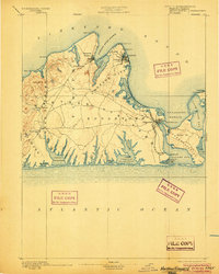
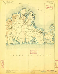
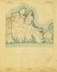
Other maps of this area

1886 · Falmouth
USGS Topo · 1:62,500

1887 · Gay Head
USGS Topo · 1:62,500

1887 · Muskeget
USGS Topo · 1:62,500

1887 · Marthas Vineyard
USGS Topo · 1:62,500

1888 · Falmouth
USGS Topo · 1:62,500

1889 · Muskeget
USGS Topo · 1:62,500

1889 · Gay Head
USGS Topo · 1:62,500

1889 · Marthas Vineyard
USGS Topo · 1:62,500

1893 · Muskeget
USGS Topo · 1:62,500

1893 · Gay Head
USGS Topo · 1:62,500