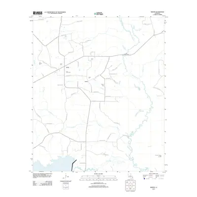
2012 Map of Martin
USGS Topo · Published 2012About this map
The settlement of Martin anchors this portion of Red River Parish, situated in a landscape defined by Bayou drainage and small rural communities. Local history and genealogy are centered around several family and community burial grounds, including Clear Springs Cem, Martin Cem, Pickett Cem, and Thomas-Wren Cem. The economy of the era is evidenced by the presence of the Liberty Gas Field and the Southwest Demery Creek Gas Field, which operate alongside timber and agricultural land managed by an extensive network of parish roads.
Find a feature on this map
60 named features on this map. Tap any name to fly to it.
Don’t see what you’re looking for? This feature index may not catch every label — zoom into the map to look around manually.
Map Details
Editions of this 2012 Martin Map
This is the sole edition of this map. No revisions or reprints were ever made.
Other maps of this area

1937 · Campti NE
USGS Topo · 1:31,680

1937 · Campti NW
USGS Topo · 1:31,680

1938 · Lake End
USGS Topo · 1:31,680

1944 · Campti
USGS Topo · 1:62,500

1947 · Ashland
USGS Topo · 1:62,500

1947 · Hanna
USGS Topo · 1:62,500

1948 · Coushatta
USGS Topo · 1:62,500

1948 · Campti
USGS Topo · 1:62,500

1953 · Alexandria
USGS Topo · 1:250,000

1955 · Shreveport
USGS Topo · 1:250,000