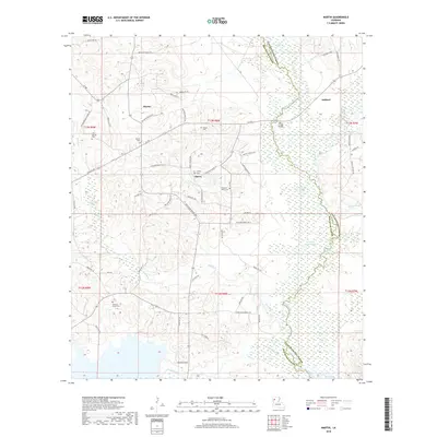
2018 Map of Martin
USGS Topo · Published 2018About this map
Martin and Liberty anchor the high ground of northern Red River Parish in this contemporary topographical record. The landscape is defined by the winding course of Black Lake Bayou and its associated wetlands, including Clear Lake and Little Clear Lake, which form a natural boundary with Natchitoches Parish. The area’s genealogical heritage is evident in the numerous burial sites scattered across the township lines, from the centrally located Liberty Cem to the more remote Thomas-Wren Cem. Transportation throughout the parish is facilitated by a dense network of local routes such as Ashland Rd and Joy Falls Rd, while the Lake Village Bridge provides a critical crossing over the bayou. To the south, the terrain rises toward Woodrow Ridge, overlooking the drainage of Grand Bayou as it flows toward the parish line.
Find a feature on this map
68 named features on this map. Tap any name to fly to it.
Don’t see what you’re looking for? This feature index may not catch every label — zoom into the map to look around manually.
Map Details
Editions of this 2018 Martin Map
This is the sole edition of this map. No revisions or reprints were ever made.
Other maps of this area

1937 · Campti NE
USGS Topo · 1:31,680

1937 · Campti NW
USGS Topo · 1:31,680

1938 · Lake End
USGS Topo · 1:31,680

1944 · Campti
USGS Topo · 1:62,500

1947 · Ashland
USGS Topo · 1:62,500

1947 · Hanna
USGS Topo · 1:62,500

1948 · Coushatta
USGS Topo · 1:62,500

1948 · Campti
USGS Topo · 1:62,500

1953 · Alexandria
USGS Topo · 1:250,000

1955 · Shreveport
USGS Topo · 1:250,000