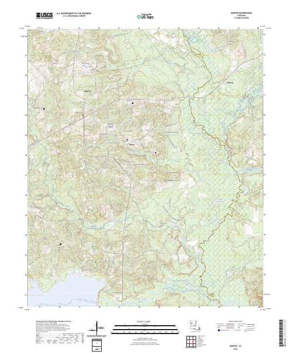
2024 Map of Martin
USGS Topo · Published 2024About this map
Martin and Liberty anchor the high ground in this Louisiana landscape, where the headwaters of Black Lake Bayou and Grand Bayou drain the piney woods of Red River and Natchitoches Parishes. The settlement pattern is defined by family-named landmarks and rural crossroads, with the local history recorded in numerous small burial grounds including Martin Cem, Pickett Cem, and Thomas Wren Cem. To the south, Woodrow Ridge rises above the lowlands, while Salt Springs sits near the winding course of the bayou. The network of parish roads, such as Jack Roe Rd and Liberty Church Rd, connects these small communities to the larger route of La 155, illustrating a modern rural infrastructure that still follows the historic contours of the land and its original homesteads.
Find a feature on this map
61 named features on this map. Tap any name to fly to it.
Don’t see what you’re looking for? This feature index may not catch every label — zoom into the map to look around manually.
Map Details
Editions of this 2024 Martin Map
This is the sole edition of this map. No revisions or reprints were ever made.
Other maps of this area

1937 · Campti NE
USGS Topo · 1:31,680

1937 · Campti NW
USGS Topo · 1:31,680

1938 · Lake End
USGS Topo · 1:31,680

1944 · Campti
USGS Topo · 1:62,500

1947 · Ashland
USGS Topo · 1:62,500

1947 · Hanna
USGS Topo · 1:62,500

1948 · Coushatta
USGS Topo · 1:62,500

1948 · Campti
USGS Topo · 1:62,500

1953 · Alexandria
USGS Topo · 1:250,000

1955 · Shreveport
USGS Topo · 1:250,000