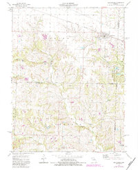
1973 Map of Martinsburg
USGS Topo · Published 1984About this map
Martinsburg stands at the northern edge of this Missouri landscape, anchored by the Norfolk and Western railroad line and a local Sewage Disposal Pond. The terrain is defined by the winding course of the Loutre River and its numerous tributaries, including Little Loutre Creek and Brushy Branch. These waterways carve through the countryside, separating the northern plains from more deeply dissected land to the south.
Find a feature on this map
26 named features on this map. Tap any name to fly to it.
Don’t see what you’re looking for? This feature index may not catch every label — zoom into the map to look around manually.
Map Details
Editions of this 1973 Martinsburg Map
2 editions found
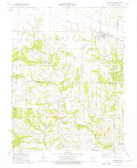
Other maps of this area

1890 · Mexico
USGS Topo · 1:125,000

1890 · Fulton
USGS Topo · 1:125,000

1928 · Fulton
USGS Topo · 1:62,500

1931 · Fulton
USGS Topo · 1:62,500

1932 · Mexico
USGS Topo · 1:62,500

1940 · Montgomery City
USGS Topo · 1:62,500

1942 · Montgomery City
USGS Topo · 1:62,500

1942 · Wellsville
USGS Topo · 1:62,500

1948 · Quincy
USGS Topo · 1:250,000

1949 · Saint Louis
USGS Topo · 1:250,000