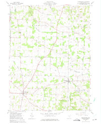
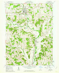
1961 Map of Martinsburg
USGS Topo · Published 1975About this map
The village of Martinsburg serves as a focal point in this 1961 survey, situated within the United States Military District of eastern Knox County. This landscape is defined by the extensive Oil Field and Gas Field operations that dot the townships of Harrison, Butler, Clay, and Jackson. Small agrarian settlements like Bladensburg, Artanna, and Pipesville are connected by a network of rural roads crossing numerous drainages, including Harrod Run and Pumpkin Run. A notable aviation landmark, the Earlywine Airport, is situated north of Wakatomika Creek. The mapping also highlights the rural social fabric of the era through scattered religious and memorial sites such as Grove Ch, Messiah Ch, and the Campbell Cem. Significant topographic detail is provided along the Kokosing River and Arbutus Glen, showing the dissection of the plateau by these winding watercourses.
Find a feature on this map
29 named features on this map. Tap any name to fly to it.
Don’t see what you’re looking for? This feature index may not catch every label — zoom into the map to look around manually.
Map Details
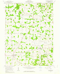
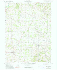
Editions of this 1961 Martinsburg Map
Other maps of this area

1909 · Newark
USGS Topo · 1:62,500

1910 · Frazeysburg
USGS Topo · 1:62,500

1912 · Gambier
USGS Topo · 1:62,500

1913 · Brinkhaven
USGS Topo · 1:62,500

1914 · Gambier
USGS Topo · 1:62,500

1915 · Brinkhaven
USGS Topo · 1:62,500

1943 · Gambier
USGS Topo · 1:62,500

1950 · Marion
USGS Topo · 1:250,000
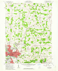
1961 · Mt Vernon
USGS Topo · 1:24,000
1961 · Utica
USGS Topo · 1:24,000