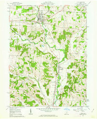
1961 Map of Utica
USGS Topo · Published 1962About this map
North Fork Licking River drainage defines the geography of northern Licking County and southern Knox County in this early 1960s survey. The village of Utica serves as a central hub, where the Baltimore and Ohio railroad corridor tracks the valley floor southward through St Louisville toward Vanatta. This era shows a landscape balancing traditional agriculture with emerging energy infrastructure, evidenced by scattered Gas Wells and Oil Wells alongside a prominent regional Pipeline. Genealogists will find several rural burial grounds including Bell Ch Cem, South Lawn Cem, and Evans Cem. The map provides specific locations for civic landmarks like the Township Sch and the municipal Waterworks at Utica, documenting the community's mid-century footprint before modern development patterns shifted the local landscape.
Find a feature on this map
38 named features on this map. Tap any name to fly to it.
Don’t see what you’re looking for? This feature index may not catch every label — zoom into the map to look around manually.
Map Details
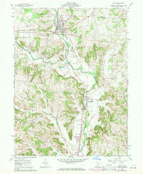
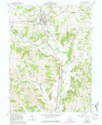
Editions of this 1961 Utica Map
3 editions found
Other maps of this area

1908 · Granville
USGS Topo · 1:62,500

1909 · Newark
USGS Topo · 1:62,500

1910 · Granville
USGS Topo · 1:62,500

1912 · Gambier
USGS Topo · 1:62,500

1914 · Gambier
USGS Topo · 1:62,500

1915 · Fredericktown
USGS Topo · 1:62,500

1943 · Gambier
USGS Topo · 1:62,500

1943 · Fredericktown
USGS Topo · 1:62,500

1950 · Marion
USGS Topo · 1:250,000

1961 · Hanover
USGS Topo · 1:24,000