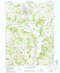
1961 Map of Utica
USGS Topo · Published 1981About this map
The North Fork Licking River carves a central path through this mid-century landscape, anchoring the village of Utica and the smaller settlement of St Louisville. The area's mid-20th-century development is closely tied to the Baltimore and Ohio railroad corridor, which mirrors the river's course and links the rural communities of Chatham and Vanatta. Small-scale industry and resource extraction are evident through various oil wells, gas wells, and gravel pits scattered across the township lines of Burlington, Washington, and Mc Kean.
Find a feature on this map
40 named features on this map. Tap any name to fly to it.
Don’t see what you’re looking for? This feature index may not catch every label — zoom into the map to look around manually.
Map Details
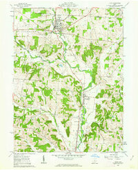
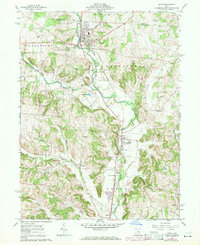
Editions of this 1961 Utica Map
3 editions found
Other maps of this area

1908 · Granville
USGS Topo · 1:62,500

1909 · Newark
USGS Topo · 1:62,500

1910 · Granville
USGS Topo · 1:62,500

1912 · Gambier
USGS Topo · 1:62,500

1914 · Gambier
USGS Topo · 1:62,500

1915 · Fredericktown
USGS Topo · 1:62,500

1943 · Gambier
USGS Topo · 1:62,500

1943 · Fredericktown
USGS Topo · 1:62,500

1950 · Marion
USGS Topo · 1:250,000

1961 · Hanover
USGS Topo · 1:24,000