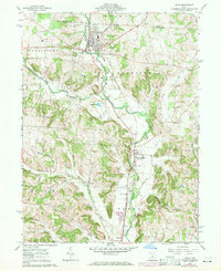
1961 Map of Utica
USGS Topo · Published 1971About this map
The North Fork Licking River carves a central corridor through this Licking County landscape, shaping the development of settlements from Utica in the north down to St Louisville and Vanatta. The Baltimore and Ohio railroad tracks closely parallel the river's course, a testament to the era's reliance on rail transport for both industrial and agricultural commerce. While the river valleys are home to the primary towns, the surrounding uplands are defined by deep-cut hollows like Dog Hollow and Preston Hollow.
Find a feature on this map
39 named features on this map. Tap any name to fly to it.
Don’t see what you’re looking for? This feature index may not catch every label — zoom into the map to look around manually.
Map Details
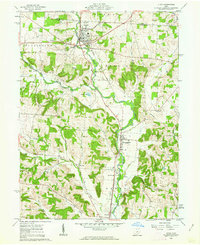
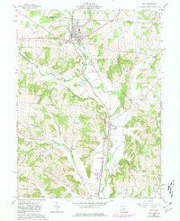
Editions of this 1961 Utica Map
3 editions found
Other maps of this area

1908 · Granville
USGS Topo · 1:62,500

1909 · Newark
USGS Topo · 1:62,500

1910 · Granville
USGS Topo · 1:62,500

1912 · Gambier
USGS Topo · 1:62,500

1914 · Gambier
USGS Topo · 1:62,500

1915 · Fredericktown
USGS Topo · 1:62,500

1943 · Gambier
USGS Topo · 1:62,500

1943 · Fredericktown
USGS Topo · 1:62,500

1950 · Marion
USGS Topo · 1:250,000

1961 · Hanover
USGS Topo · 1:24,000