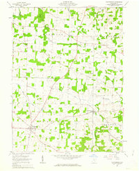
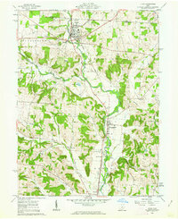
1961 Map of Martinsburg
USGS Topo · Published 1975About this map
Martinsburg and the neighboring village of Bladensburg anchor this 1961 portrait of eastern Knox County, an area defined by agricultural land and active energy extraction. Located within the United States Military District, the landscape is densely dotted with Oil Wells and Gas Wells, indicating the region's importance to Ohio's mineral economy during the early 1960s. The survey captures smaller settlements like Pipesville and Artanna, alongside community landmarks such as Grove Ch and Messiah Ch.
Find a feature on this map
29 named features on this map. Tap any name to fly to it.
Don’t see what you’re looking for? This feature index may not catch every label — zoom into the map to look around manually.
Map Details
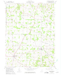
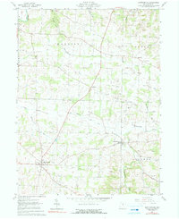
Editions of this 1961 Martinsburg Map
Other maps of this area

1909 · Newark
USGS Topo · 1:62,500

1910 · Frazeysburg
USGS Topo · 1:62,500

1912 · Gambier
USGS Topo · 1:62,500

1913 · Brinkhaven
USGS Topo · 1:62,500

1914 · Gambier
USGS Topo · 1:62,500

1915 · Brinkhaven
USGS Topo · 1:62,500

1943 · Gambier
USGS Topo · 1:62,500

1950 · Marion
USGS Topo · 1:250,000
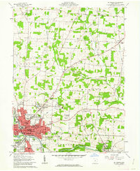
1961 · Mt Vernon
USGS Topo · 1:24,000
1961 · Utica
USGS Topo · 1:24,000