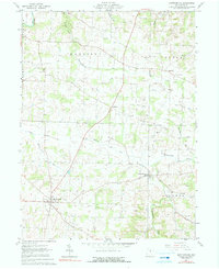
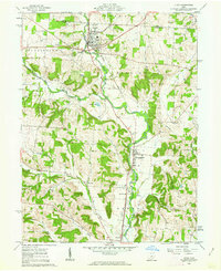
1961 Map of Martinsburg
USGS Topo · Published 1990About this map
Oil fields and gas wells dominate this landscape of eastern Knox County, where the industrial extraction of the era is superimposed over a network of small agricultural hamlets. The settlement of Martinsburg serves as a local hub in the southwest, while Bladensburg sits further east along the winding course of Wakatomika Creek. The land is divided into townships such as Harrison, Butler, and Clay, characterized by numerous family-named watercourses like Harrod Run and Indianfield Run. Evidence of early community life is found in scattered landmarks such as Messiah Ch, Grove Ch, and Campbell Cem. Notably, the Earlywine Airport appears as a small airstrip amidst the rural acreage, while the Kokosing River clips the northwestern corner of the quadrangle, carving through Arbutus Glen.
Find a feature on this map
38 named features on this map. Tap any name to fly to it.
Don’t see what you’re looking for? This feature index may not catch every label — zoom into the map to look around manually.
Map Details
Editions of this 1961 Martinsburg Map
Other maps of this area

1909 · Newark
USGS Topo · 1:62,500

1910 · Frazeysburg
USGS Topo · 1:62,500

1912 · Gambier
USGS Topo · 1:62,500

1913 · Brinkhaven
USGS Topo · 1:62,500

1914 · Gambier
USGS Topo · 1:62,500

1915 · Brinkhaven
USGS Topo · 1:62,500

1943 · Gambier
USGS Topo · 1:62,500

1950 · Marion
USGS Topo · 1:250,000
1961 · Mt Vernon
USGS Topo · 1:24,000
1961 · Utica
USGS Topo · 1:24,000