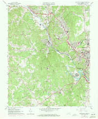
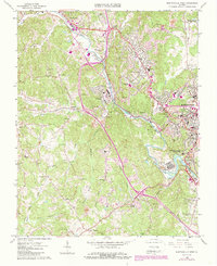
1965 Map of Martinsville West
USGS Topo · Published 1971About this map
The Smith River carves a winding path through Henry County, serving as the industrial and geographical spine for settlements like Fieldale, Bassett Forks, and Koehler. This mid-century landscape is defined by its rail-oriented development, with the Norfolk and Western and Southern railroads intersecting near Villa Heights and the larger city of Martinsville. The survey captures a period of transition, showing established community anchors such as the Fieldale-Collinsville High Sch and Smith Sch alongside leisure sites like the Bassett Country Club. Smaller rural hamlets such as Horse Pasture and Rangeley remain distinct on the outskirts, while family and community history is preserved in sites like Oakwood Cemetery and numerous country churches including Port Trial Ch and Shiloh Ch. The topography reveals a mix of industrial infrastructure, including a Power Plant and Sewage Disposal, and natural landmarks like Dug Mtn and Chestnut Knob.
Find a feature on this map
75 named features on this map. Tap any name to fly to it.
Don’t see what you’re looking for? This feature index may not catch every label — zoom into the map to look around manually.
Map Details
Editions of this 1965 Martinsville West Map
5 editions found
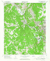
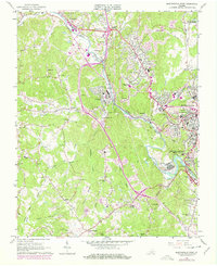
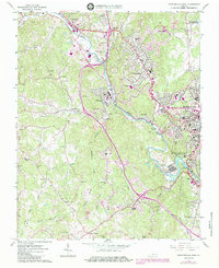
Other maps of this area

1924 · Martinsville
USGS Topo · 1:48,000

1925 · Rocky Mount
USGS Topo · 1:48,000

1926 · Martinsville
USGS Topo · 1:62,500

1926 · Critz
USGS Topo · 1:48,000

1927 · Rocky Mount
USGS Topo · 1:62,500

1927 · Martinsville
USGS Topo · 1:62,500

1928 · Critz
USGS Topo · 1:62,500

1944 · Martinsville
USGS Topo · 1:62,500

1944 · Rocky Mount
USGS Topo · 1:62,500

1953 · Winston-Salem
USGS Topo · 1:250,000