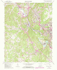
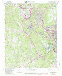
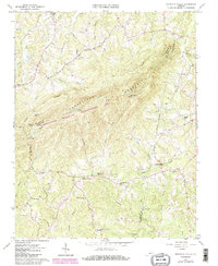
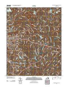
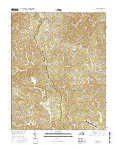
1965 Map of Martinsville West
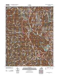
USGS Topo · Published 1989About this map
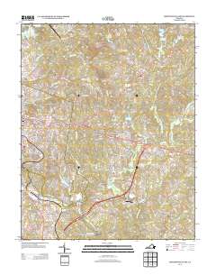
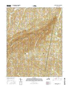
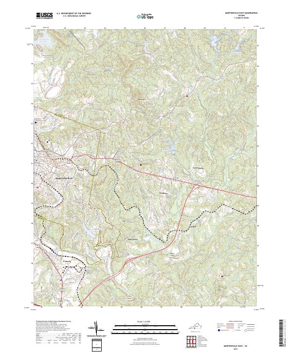
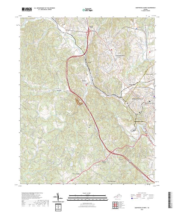
The Smith River carves a winding path through the industrial and residential corridors of Henry County, anchoring a landscape shaped by textile mills and manufacturing at the height of the mid-20th century. Major settlement clusters at Fieldale and Collinsville show the dense suburbanization and infrastructure of the era, including the Sewage Disposal plant and multiple schools like Fieldale-Collinsville High Sch. The presence of the Norfolk and Western rail line alongside the Old Grade Railroad illustrates the evolution of transport in this corner of the Piedmont. Away from the river, the terrain rises toward Dug Mtn and Chestnut Knob, where numerous small country congregations such as Fort Trial Ch, New Bethel Ch, and High Ridge Ch served the rural communities. Industrial activity is further evidenced by a Sand and Gravel Pit and a Quarry, while the urban edge of Martinsville is marked by the Oakwood Cemetery and a local Hospital.
Find a feature on this map
62 named features on this map. Tap any name to fly to it.
Don’t see what you’re looking for? This feature index may not catch every label — zoom into the map to look around manually.
Map Details
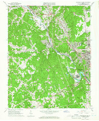
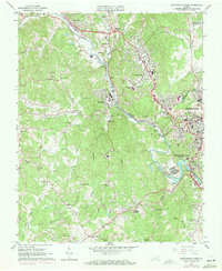
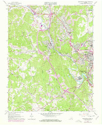
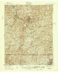
Editions of this 1965 Martinsville West Map
5 editions found
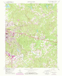
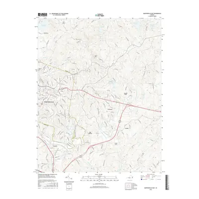
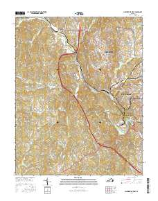
Historical Maps of Collinsville Through Time
34 maps found

1924 Martinsville
Henry County, VA

1926 Martinsville
Henry County, VA
1927 Martinsville
Henry County, VA

1944 Martinsville
Henry County, VA
1964 Martinsville East
Henry County, VA
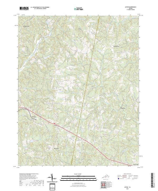
1965 Axton
Henry County, VA
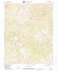
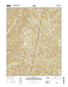
1965 Martinsville West
Henry County, VA
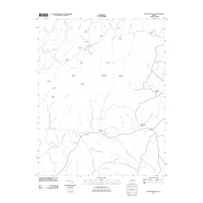
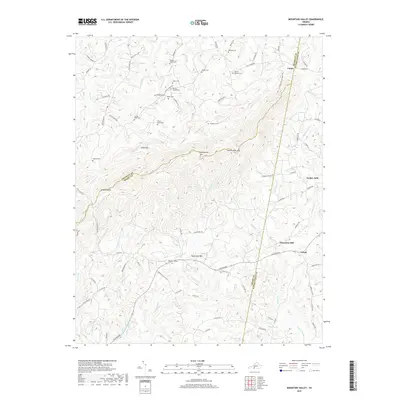
1965 Mountain Valley
Henry County, VA
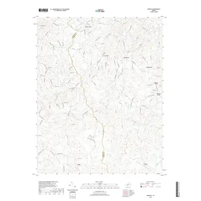
1967 Sanville
Henry County, VA
2010 Sanville
Henry County, VA
2011 Axton
Henry County, VA
2011 Martinsville East
Henry County, VA
2011 Martinsville West
Henry County, VA
2011 Mountain Valley
Henry County, VA
2013 Axton
Henry County, VA
2013 Martinsville East
Henry County, VA
2013 Martinsville West
Henry County, VA
2013 Mountain Valley
Henry County, VA
2013 Sanville
Henry County, VA
2016 Axton
Henry County, VA
2016 Martinsville East
Henry County, VA
2016 Martinsville West
Henry County, VA
2016 Mountain Valley
Henry County, VA
2016 Sanville
Henry County, VA
2019 Axton
Henry County, VA
2019 Martinsville East
Henry County, VA
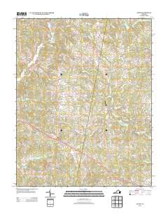
2019 Martinsville West
Henry County, VA
2019 Mountain Valley
Henry County, VA
2019 Sanville
Henry County, VA
2022 Axton
Henry County, VA
2022 Martinsville East
Henry County, VA
2022 Martinsville West
Henry County, VA
2022 Mountain Valley
Henry County, VA
2022 Sanville
Henry County, VA