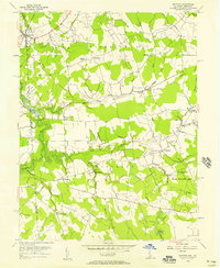
1956 Map of Marydel
USGS Topo · Published 1957About this map
The Maryland and Delaware state line bisects this landscape of agrarian districts and complex water networks during the mid-1950s. Centered on the community of Marydel, the survey reveals a countryside shaped by drainage projects like the Tappahanna Ditch and Cow Marsh Ditch, which converted marshy lowlands into productive farmland. This era captures established social hubs including Thomas Chapel and Mt Moriah Ch, alongside the Oak Point Sch, which served the families living in District No 4 and District No 6.
Find a feature on this map
50 named features on this map. Tap any name to fly to it.
Don’t see what you’re looking for? This feature index may not catch every label — zoom into the map to look around manually.
Map Details
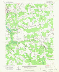
Editions of this 1956 Marydel Map
2 editions found
Other maps of this area

1899 · Dover
USGS Topo · 1:125,000

1905 · Denton
USGS Topo · 1:62,500

1905 · Barclay
USGS Topo · 1:62,500

1906 · Dover
USGS Topo · 1:125,000

1918 · Harrington
USGS Topo · 1:62,500

1920 · Dover
USGS Topo · 1:125,000

1926 · Wyoming
USGS Topo · 1:48,000

1930 · Wyoming
USGS Topo · 1:62,500

1931 · Wyoming
USGS Topo · 1:62,500

1944 · Denton
USGS Topo · 1:31,680