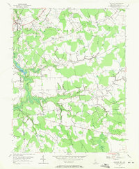
1956 Map of Marydel
USGS Topo · Published 1971About this map
The Maryland-Delaware border bisects this landscape of agrarian tracts and intricate drainage networks, where the Pennsylvania Railroad railroad corridor defines the northwest corner at Marydel. This mid-century revision reveals a rural economy centered on small crossroads settlements and water-powered history, evident at Choptank Mills and the nearby Mud Millpond. The terrain is characterized by an extensive system of agricultural improvements, including the Tappahanna Ditch and Culbreth Marsh Ditch, which channel water toward the upper reaches of the Choptank River.
Find a feature on this map
39 named features on this map. Tap any name to fly to it.
Don’t see what you’re looking for? This feature index may not catch every label — zoom into the map to look around manually.
Map Details
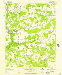
Editions of this 1956 Marydel Map
2 editions found
Other maps of this area

1899 · Dover
USGS Topo · 1:125,000

1905 · Denton
USGS Topo · 1:62,500

1905 · Barclay
USGS Topo · 1:62,500

1906 · Dover
USGS Topo · 1:125,000

1918 · Harrington
USGS Topo · 1:62,500

1920 · Dover
USGS Topo · 1:125,000

1926 · Wyoming
USGS Topo · 1:48,000

1930 · Wyoming
USGS Topo · 1:62,500

1931 · Wyoming
USGS Topo · 1:62,500

1944 · Denton
USGS Topo · 1:31,680