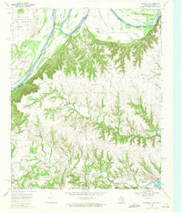
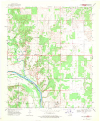
1968 Map of Marysville
USGS Topo · Published 1971About this map
The Red River meanders along the border of Texas and Oklahoma, defining the northern landscape of this survey. The terrain is characterized by a series of dramatic loops including Burney Bend, Warrens Bend, and Tyas Bend. Further inland, the community of Marysville and the settlement at Jimtown represent the primary residential hubs, surrounded by a network of drainage systems like North Fish Creek and South Fish Creek that feed toward Moss Lake.
Find a feature on this map
30 named features on this map. Tap any name to fly to it.
Don’t see what you’re looking for? This feature index may not catch every label — zoom into the map to look around manually.
Map Details
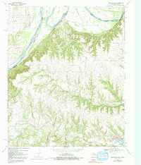
Editions of this 1968 Marysville Map
2 editions found
Other maps of this area

1902 · Gainesville
USGS Topo · 1:125,000

1943 · Gainesville
USGS Topo · 1:125,000

1954 · Sherman
USGS Topo · 1:250,000

1958 · Sherman
USGS Topo · 1:250,000

1960 · Gainesville North
USGS Topo · 1:24,000

1961 · Muenster West
USGS Topo · 1:24,000

1961 · Muenster East
USGS Topo · 1:24,000
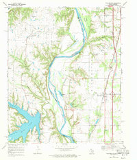
1968 · Thackerville
USGS Topo · 1:24,000
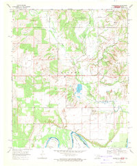
1968 · Burneyville
USGS Topo · 1:24,000
1968 · Leon North
USGS Topo · 1:24,000