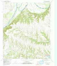
1968 Map of Marysville
USGS Topo · Published 1991About this map
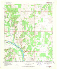
Marysville and the small settlement of Jimtown anchor this late-1960s landscape where the Red River defines the border between Oklahoma and Texas. The terrain is marked by dramatic river bends such as Tyas Bend and Warrens Bend, where active oil wells and gravel pits suggest a working river economy. The upland areas are defined by Nubbin Ridge and several family-named landmarks, including the Olsen Ranch landing strip. Genealogists will find particular value in the locations of the Barlow Cem, Weaver Cem, and Bear Head Cem, situated among a dense network of seasonal drainages like North Fish Creek and Davenport Branch. The presence of Moss Lake and areas designated for controlled inundation reflect the hydrological management of the Cooke County backcountry during this era.
Find a feature on this map
36 named features on this map. Tap any name to fly to it.
Don’t see what you’re looking for? This feature index may not catch every label — zoom into the map to look around manually.
Map Details
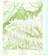
Editions of this 1968 Marysville Map
2 editions found
Other maps of this area

1902 · Gainesville
USGS Topo · 1:125,000

1943 · Gainesville
USGS Topo · 1:125,000

1954 · Sherman
USGS Topo · 1:250,000

1958 · Sherman
USGS Topo · 1:250,000

1960 · Gainesville North
USGS Topo · 1:24,000

1961 · Muenster West
USGS Topo · 1:24,000

1961 · Muenster East
USGS Topo · 1:24,000
1968 · Thackerville
USGS Topo · 1:24,000
1968 · Burneyville
USGS Topo · 1:24,000
1968 · Leon North
USGS Topo · 1:24,000