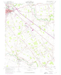
1961 Map of Marysville
USGS Topo · Published 1974About this map
Marysville serves as the focal point of this 1961 survey, showing the town at a moment of significant infrastructure development. The Penn Central rail line cuts diagonally across the landscape, connecting the county seat to outlying areas like Dipple and Arnold. The presence of an Old Railroad Grade near New Dover indicates the evolution of transit in the region, while the Union County Airport marks the arrival of modern aviation.
Find a feature on this map
41 named features on this map. Tap any name to fly to it.
Don’t see what you’re looking for? This feature index may not catch every label — zoom into the map to look around manually.
Map Details
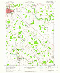
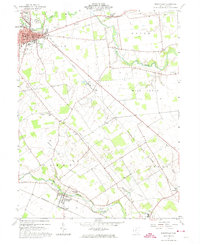
Editions of this 1961 Marysville Map
Other maps of this area

1901 · Dublin
USGS Topo · 1:62,500

1903 · Dublin
USGS Topo · 1:62,500

1913 · Richwood
USGS Topo · 1:62,500

1915 · Richwood
USGS Topo · 1:62,500

1916 · Milford Center
USGS Topo · 1:62,500

1924 · Delaware
USGS Topo · 1:62,500

1925 · Delaware
USGS Topo · 1:62,500

1944 · Richwood
USGS Topo · 1:62,500

1944 · Milford Center
USGS Topo · 1:62,500

1944 · Delaware
USGS Topo · 1:62,500