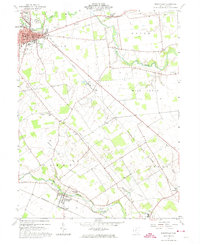
1961 Map of Marysville
USGS Topo · Published 1974About this map
Marysville serves as the focal point of this Union County survey, where the New York Central rail line cuts diagonally across the landscape. The town's grid is dense with civic and community landmarks, including the central courthouse, a Hospital, and several educational institutions like the High Sch and Jr High Sch. Beyond the town limits, the terrain is defined by the winding paths of Mill Creek and Robinson Run, which irrigate the agricultural lands of Paris, Dover, and Jerome townships.
Find a feature on this map
39 named features on this map. Tap any name to fly to it.
Don’t see what you’re looking for? This feature index may not catch every label — zoom into the map to look around manually.
Map Details
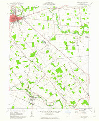
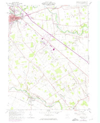
Editions of this 1961 Marysville Map
Other maps of this area

1901 · Dublin
USGS Topo · 1:62,500

1903 · Dublin
USGS Topo · 1:62,500

1913 · Richwood
USGS Topo · 1:62,500

1915 · Richwood
USGS Topo · 1:62,500

1916 · Milford Center
USGS Topo · 1:62,500

1924 · Delaware
USGS Topo · 1:62,500

1925 · Delaware
USGS Topo · 1:62,500

1944 · Richwood
USGS Topo · 1:62,500

1944 · Milford Center
USGS Topo · 1:62,500

1944 · Delaware
USGS Topo · 1:62,500