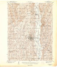
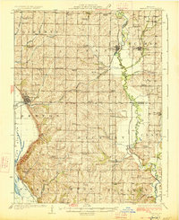
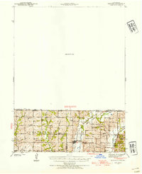
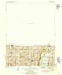
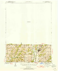
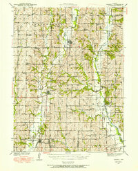
1943 Map of Maryville
USGS Topo · Published 1943About this map
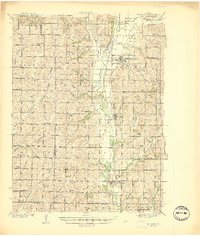
Maryville serves as the central hub of this 1940s landscape, anchored by the Maryville Teachers College and the County Farm on its outskirts. The town’s infrastructure is clearly defined, from the Maryville Waterworks to the Maryville Airport, illustrating a growing regional center. Beyond the city limits, the terrain is defined by a dense network of rural schoolhouses and small cemeteries, such as Prairie View Sch, Happy Hollow Sch, and Morgan Cem, reflecting the agrarian community structure of Nodaway County before mid-century consolidation.
Find a feature on this map
101 named features on this map. Tap any name to fly to it.
Don’t see what you’re looking for? This feature index may not catch every label — zoom into the map to look around manually.
Map Details
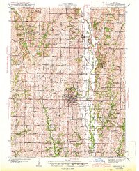
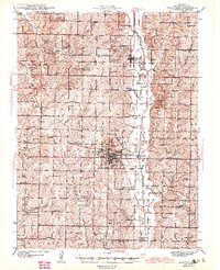
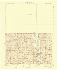
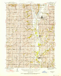
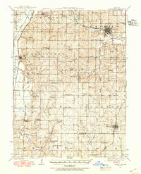
Editions of this 1943 Maryville Map
3 editions found
Other maps of this area
1925 · Stanberry
USGS Topo · 1:62,500
1926 · Maitland
USGS Topo · 1:62,500
1927 · Bolckow
USGS Topo · 1:62,500
1939 · Skidmore
USGS Topo · 1:62,500
1939 · Stanberry
USGS Topo · 1:62,500
1940 · Bedford
USGS Topo · 1:62,500
1940 · Coin
USGS Topo · 1:62,500
1940 · New Market
USGS Topo · 1:62,500
1940 · Parnell
USGS Topo · 1:62,500
1941 · Skidmore
USGS Topo · 1:62,500
Featured Places
- Maryville, Polk Township
- Pickering, Union Township
- Arkoe, White Cloud Township
- Atchison Township, MO
- Bedison, Polk Township