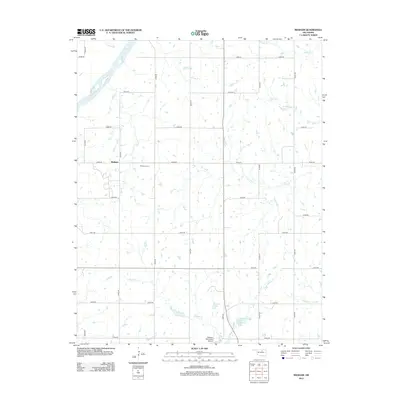
2012 Map of Masham
USGS Topo · Published 2012About this map
The Arkansas River winds through the northwest corner of this Pawnee County landscape, defining a terrain shaped by numerous tributary creeks. The small community of Masham serves as a central point of reference, accompanied by the nearby Masham Cem, which remains a vital link for those researching local family history and genealogy in this part of Oklahoma.
Find a feature on this map
32 named features on this map. Tap any name to fly to it.
Don’t see what you’re looking for? This feature index may not catch every label — zoom into the map to look around manually.
Map Details
Editions of this 2012 Masham Map
This is the sole edition of this map. No revisions or reprints were ever made.
Other maps of this area

1929 · Skedee
USGS Topo · 1:62,500

1930 · Pawnee
USGS Topo · 1:62,500

1931 · Skedee
USGS Topo · 1:62,500

1932 · Fairfax
USGS Topo · 1:62,500

1936 · Belford
USGS Topo · 1:62,500

1936 · Pawnee
USGS Topo · 1:62,500

1955 · Enid
USGS Topo · 1:250,000

1958 · Enid
USGS Topo · 1:250,000
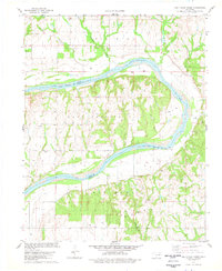
1978 · Prettyhair Creek
USGS Topo · 1:24,000
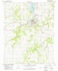
1978 · Pawnee
USGS Topo · 1:24,000