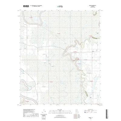
2018 Map of Mason
USGS Topo · Published 2018About this map
Mason and its surrounding wetlands occupy a landscape defined by the shifting courses of the Boeuf River and Bayou Lafourche. This portion of Franklin and Caldwell Parishes is heavily defined by its hydrography, showing a complex network of backwaters and sloughs such as Ash Slough and Sawyer Pond Bayou. The settlement pattern follows the slightly higher ground, with rural roads like Big Ridge Rd and Oliveaux Rd providing access to the scattered homes and properties of the area.
Find a feature on this map
57 named features on this map. Tap any name to fly to it.
Don’t see what you’re looking for? This feature index may not catch every label — zoom into the map to look around manually.
Map Details
Editions of this 2018 Mason Map
This is the sole edition of this map. No revisions or reprints were ever made.
Other maps of this area

1939 · Fort Necessity
USGS Topo · 1:62,500

1940 · Columbia
USGS Topo · 1:62,500

1941 · Harrisonburg
USGS Topo · 1:62,500

1953 · Alexandria
USGS Topo · 1:250,000

1953 · Natchez
USGS Topo · 1:250,000

1955 · Jackson
USGS Topo · 1:250,000

1955 · Shreveport
USGS Topo · 1:250,000

1955 · Alexandria
USGS Topo · 1:250,000

1955 · Olla
USGS Topo · 1:62,500

1956 · Shreveport
USGS Topo · 1:250,000