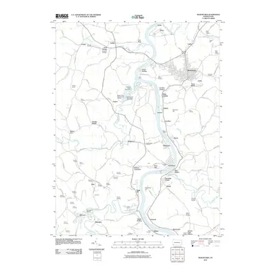
2010 Map of Masontown
USGS Topo · Published 2010About this map
The Monongahela River winds through this region of Fayette County, serving as the industrial and geographical spine for a series of riverside settlements including Greensboro, Grays Landing, and Glassworks. In the hills above the river, the economy of the early 21st century is still marked by heavy industrial footprints, such as the Poland Mines and the extensive infrastructure around the Robena Slope Mine Dam. The landscape is densely populated with family and parish burial grounds, from the Saint Marys Cemetery near Ronco to the Alexander Cemetery and Garrison Cemetery further inland. These sites, alongside landmarks like Friendship Hill and the Greensburg Ferry crossing, reflect a deep layer of local history and genealogical significance in the river valley.
Find a feature on this map
139 named features on this map. Tap any name to fly to it.
Don’t see what you’re looking for? This feature index may not catch every label — zoom into the map to look around manually.
Map Details
Editions of this 2010 Masontown Map
This is the sole edition of this map. No revisions or reprints were ever made.
Other maps of this area

1900 · Masontown
USGS Topo · 1:62,500

1901 · Waynesburg
USGS Topo · 1:62,500

1902 · Morgantown
USGS Topo · 1:62,500

1903 · Masontown
USGS Topo · 1:62,500

1904 · Blacksville
USGS Topo · 1:62,500

1904 · Waynesburg
USGS Topo · 1:62,500

1923 · Blacksville
USGS Topo · 1:62,500

1925 · Blacksville
USGS Topo · 1:62,500

1925 · Morgantown
USGS Topo · 1:62,500

1931 · Masontown
USGS Topo · 1:62,500