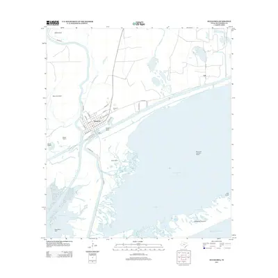
2013 Map of Matagorda
USGS Topo · Published 2013About this map
Matagorda and its surrounding coastal wetlands are defined by the convergence of the Colorado River and the Gulf of Mexico. This landscape is a complex network of brackish bayous, islands, and narrow peninsulae, where the land and sea frequently intermingle. To the north of the main settlement, the Matagorda Cem sits near the small community of Gulf, while the waterways are active with maritime hubs like the Matagorda Harbor Marina and C and R Marina.
Find a feature on this map
44 named features on this map. Tap any name to fly to it.
Don’t see what you’re looking for? This feature index may not catch every label — zoom into the map to look around manually.
Map Details
Editions of this 2013 Matagorda Map
This is the sole edition of this map. No revisions or reprints were ever made.
Other maps of this area

1951 · Bay City
USGS Topo · 1:250,000

1952 · Palacios SE
USGS Topo · 1:24,000

1952 · Lake Austin
USGS Topo · 1:24,000

1952 · Matagorda
USGS Topo · 1:24,000

1952 · Blessing SE
USGS Topo · 1:24,000

1952 · Dressing Point
USGS Topo · 1:24,000
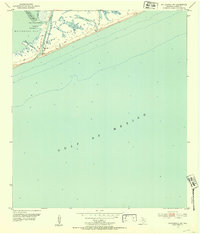
1952 · Matagorda SW
USGS Topo · 1:24,000

1952 · Palacios NE
USGS Topo · 1:24,000

1952 · Wadsworth
USGS Topo · 1:24,000

1953 · Beeville
USGS Topo · 1:250,000