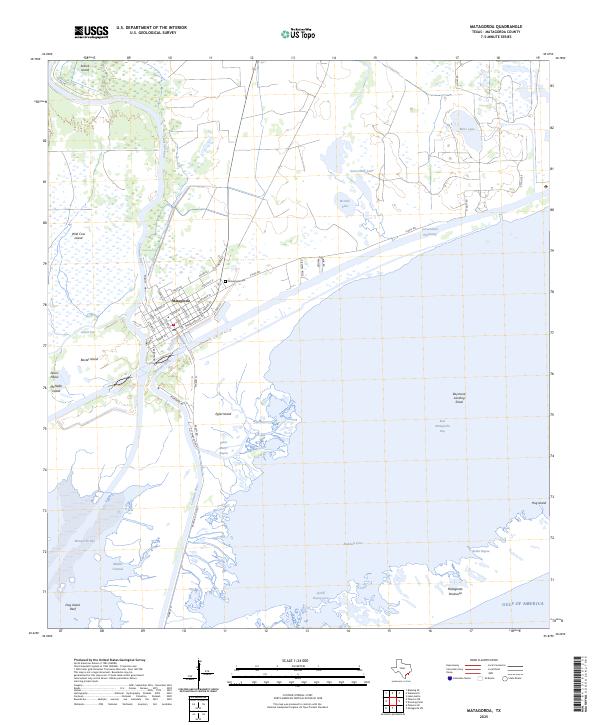
2025 Map of Matagorda
USGS Topo · Published 2025About this map
The settlement of Matagorda sits at the nexus of the Colorado River and the Intracoastal Waterway, serving as a gateway to the complex coastal hydrology of the Texas Gulf Coast. This modern survey illustrates the intricate network of islands and bayous that define the river delta, including Selkirk Island to the north and McNabb Island near the river's bend. The town plan is clearly delineated, showing a residential grid with street names like Matagorda Ave and Austin St E, alongside the Matagorda Cem north of the main village. To the south, the landscape dissolves into the expansive waters of Matagorda Bay and East Matagorda Bay, separated from the open sea by the narrow Matagorda Peninsula. This area is characterized by shifting shoals and shallow inlets like Saint Marys Bayou and Boiler Bayou, highlighting the constant environmental movement at the edge of the Gulf of America.
Find a feature on this map
54 named features on this map. Tap any name to fly to it.
Don’t see what you’re looking for? This feature index may not catch every label — zoom into the map to look around manually.
Map Details
Editions of this 2025 Matagorda Map
This is the sole edition of this map. No revisions or reprints were ever made.
Other maps of this area

1951 · Bay City
USGS Topo · 1:250,000

1952 · Palacios SE
USGS Topo · 1:24,000

1952 · Lake Austin
USGS Topo · 1:24,000

1952 · Matagorda
USGS Topo · 1:24,000

1952 · Blessing SE
USGS Topo · 1:24,000

1952 · Dressing Point
USGS Topo · 1:24,000
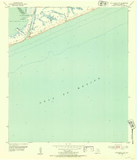
1952 · Matagorda SW
USGS Topo · 1:24,000

1952 · Palacios NE
USGS Topo · 1:24,000

1952 · Wadsworth
USGS Topo · 1:24,000

1953 · Beeville
USGS Topo · 1:250,000