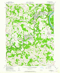
1961 Map of Mather
USGS Topo · Published 1963About this map
Coal production and heavy river traffic define the landscape along the Monongahela River during the early 1960s. The region is marked by an extensive industrial infrastructure, including the Emerald Mine and several substantial mine dumps that flank the winding course of Tenmile Creek. The Monongahela Railway hugs the riverbank, serving riverfront settlements like Rices Landing and Pitt Gas. These company-driven housing developments, such as the Braden Plan and Tesgarden Homes, reflect the organized expansion of residential life around the collieries.
Find a feature on this map
67 named features on this map. Tap any name to fly to it.
Don’t see what you’re looking for? This feature index may not catch every label — zoom into the map to look around manually.
Map Details
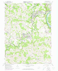
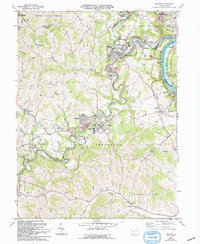
Editions of this 1961 Mather Map
3 editions found
Other maps of this area

1900 · Masontown
USGS Topo · 1:62,500

1901 · Amity
USGS Topo · 1:62,500

1901 · Waynesburg
USGS Topo · 1:62,500

1902 · Brownsville
USGS Topo · 1:62,500

1903 · Masontown
USGS Topo · 1:62,500

1904 · Amity
USGS Topo · 1:62,500

1904 · Waynesburg
USGS Topo · 1:62,500

1906 · Brownsville
USGS Topo · 1:62,500

1931 · Brownsville
USGS Topo · 1:62,500

1931 · Masontown
USGS Topo · 1:62,500