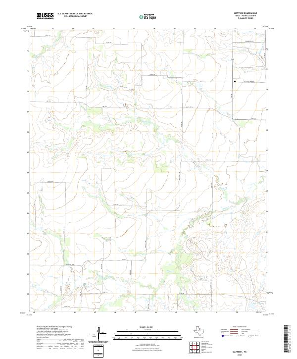
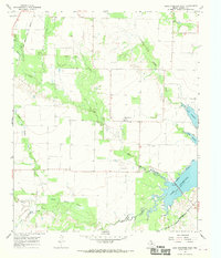
2022 Map of Mattson
USGS Topo · Published 2022This historical map portrays the area of Mattson in 2022, primarily covering Haskell County. Featuring a scale of 1:24000, this map provides a highly detailed snapshot of the terrain, roads, buildings, counties, and historical landmarks in the Mattson region at the time. Published in 2022, it is the sole known edition of this map.
Map Details
Editions of this 2022 Mattson Map
This is the sole edition of this map. No revisions or reprints were ever made.
Historical Maps of Mattson Through Time
17 maps found
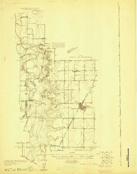
1925 Haskell 3-b
Haskell County, TX
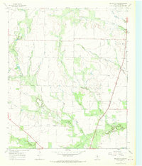
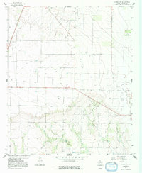
1964 Sagerton
Haskell County, TX
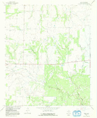
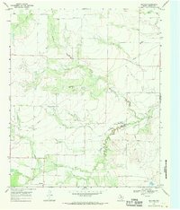
1965 Jud
Haskell County, TX
1966 Dudleys Creek
Haskell County, TX
1966 Irby
Haskell County, TX
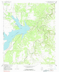
1966 Lake Stamford East
Haskell County, TX
1966 Lake Stamford West
Haskell County, TX
1966 Pinkerton
Haskell County, TX
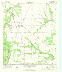
1967 Mattson
Haskell County, TX
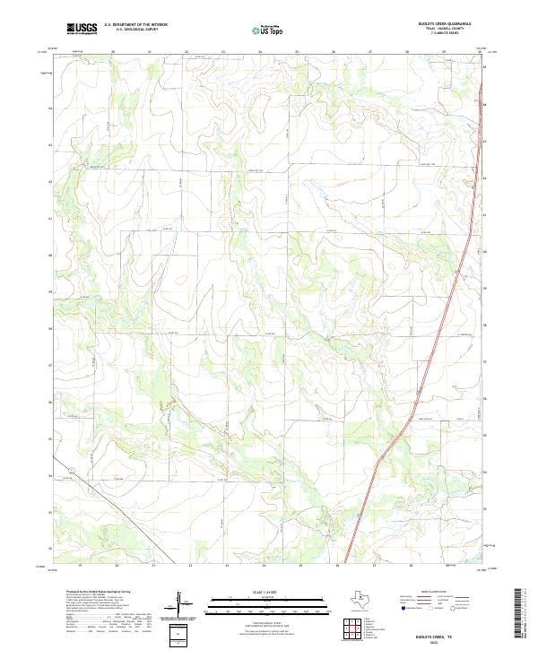
2022 Dudleys Creek
Haskell County, TX
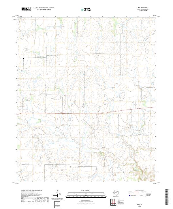
2022 Irby
Haskell County, TX
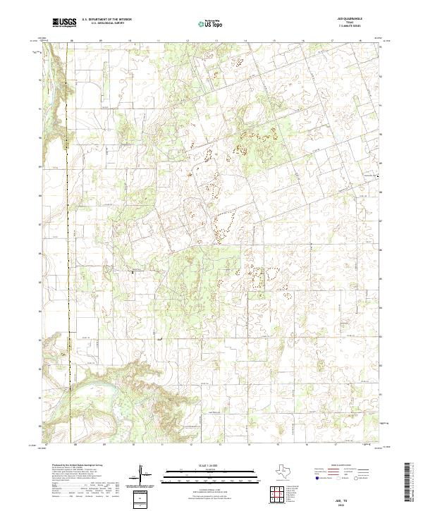
2022 Jud
Haskell County, TX
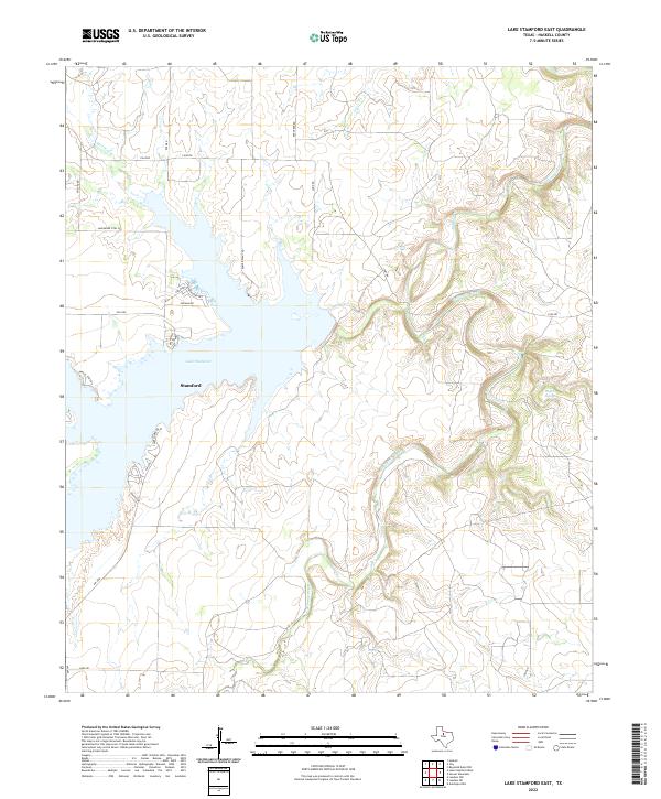
2022 Lake Stamford East
Haskell County, TX
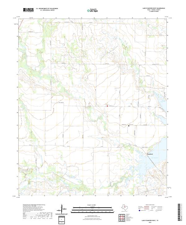
2022 Lake Stamford West
Haskell County, TX
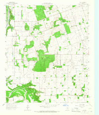
2022 Mattson
Haskell County, TX

2022 Pinkerton
Haskell County, TX
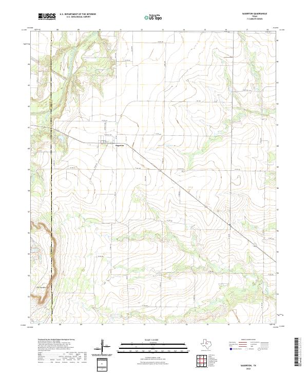
2022 Sagerton
Haskell County, TX