
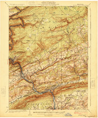
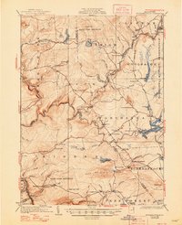
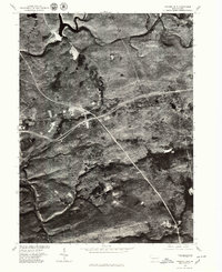
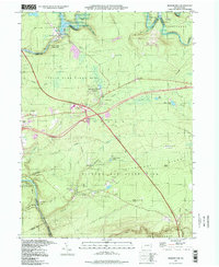
1924 Map of Mauch Chunk
USGS Topo · Published 1924This historical map portrays the area of Mauch Chunk in 1924, primarily covering Carbon County as well as portions of Lehigh County, Northampton County, and Monroe County. Featuring a scale of 1:62500, this map provides a highly detailed snapshot of the terrain, roads, buildings, counties, and historical landmarks in the Mauch Chunk region at the time. Published in 1924, it is one of 4 known editions of this map due to revisions or reprints.
Find a feature on this map
122 named features on this map. Tap any name to fly to it.
Don’t see what you’re looking for? This feature index may not catch every label — zoom into the map to look around manually.
Map Details
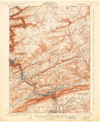
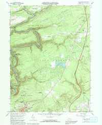
Editions of this 1924 Mauch Chunk Map
4 editions found
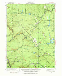
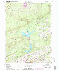
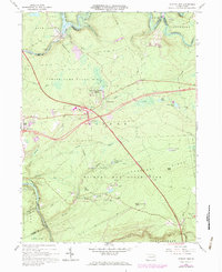
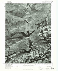
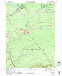
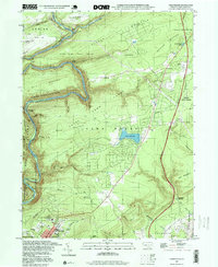
Historical Maps of Mud Run Through Time
14 maps found
1922 Stoddartsville
Carbon County, PA
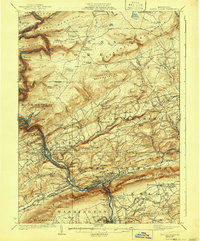
1924 Mauch Chunk
Carbon County, PA
1924 Stoddartsville
Carbon County, PA

1943 Mauch Chunk
Carbon County, PA

1943 Stoddartsville
Carbon County, PA
1960 Christmans
Carbon County, PA
1960 Pohopco Mountain
Carbon County, PA
1966 Hickory Run
Carbon County, PA
1976 Hickory Run
Carbon County, PA
1976 Pohopco Mountain
Carbon County, PA
1992 Hickory Run
Carbon County, PA
1997 Christmans
Carbon County, PA
1997 Hickory Run
Carbon County, PA
1999 Pohopoco Mountain
Carbon County, PA