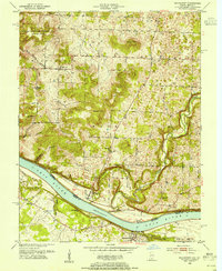
1950 Map of Mauckport
USGS Topo · Published 1966About this map
The Ohio River forms a sweeping boundary through this mid-century survey, dividing Harrison County and Meade County at a point of significant riverboat history. Mauckport sits prominently on the Indiana bank, serving as a gateway to the steep, dissected uplands of Heth and Washington townships. The landscape is defined by its dramatic relief, with family-named landmarks like Hayes Hill and Shireman Hill rising above the deep drainage of Buck Creek. To the west, the Harrison-Crawford State Forest covers the ridges above Blue Spring Hollow.
Find a feature on this map
35 named features on this map. Tap any name to fly to it.
Don’t see what you’re looking for? This feature index may not catch every label — zoom into the map to look around manually.
Map Details
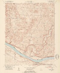
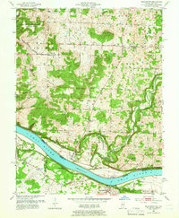
Editions of this 1950 Mauckport Map
3 editions found
Other maps of this area

1928 · Hardinsburg
USGS Topo · 1:48,000

1931 · Hardinsburg
USGS Topo · 1:62,500

1931 · Corydon
USGS Topo · 1:62,500

1941 · Ekron
USGS Topo · 1:62,500

1944 · Corydon West
USGS Topo · 1:24,000

1946 · Rock Haven
USGS Topo · 1:24,000

1946 · Leavenworth
USGS Topo · 1:24,000

1947 · Irvington
USGS Topo · 1:24,000

1947 · Leavenworth
USGS Topo · 1:24,000

1947 · Corydon West
USGS Topo · 1:24,000