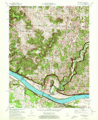
1970 Map of Mauckport
USGS Topo · Published 1972About this map
The Ohio River dominates this 1970s landscape, serving as the definitive border between Indiana and Kentucky. On the northern bank, Mauckport sits as a primary riverfront settlement, while Brandenburg anchors the southern shore in Kentucky. The topography is defined by the sharp transition from the river valley to the limestone bluffs and ridges typical of the region, specifically noted at Hayes Hill and Mount Tom.
Find a feature on this map
27 named features on this map. Tap any name to fly to it.
Don’t see what you’re looking for? This feature index may not catch every label — zoom into the map to look around manually.
Map Details
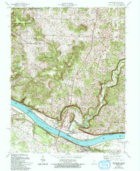
Editions of this 1970 Mauckport Map
2 editions found
Other maps of this area

1928 · Hardinsburg
USGS Topo · 1:48,000

1931 · Hardinsburg
USGS Topo · 1:62,500

1931 · Corydon
USGS Topo · 1:62,500

1941 · Ekron
USGS Topo · 1:62,500

1944 · Corydon West
USGS Topo · 1:24,000

1946 · Rock Haven
USGS Topo · 1:24,000

1946 · Leavenworth
USGS Topo · 1:24,000

1947 · Irvington
USGS Topo · 1:24,000

1947 · Leavenworth
USGS Topo · 1:24,000

1947 · Corydon West
USGS Topo · 1:24,000