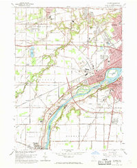
1964 Map of Maumee
USGS Topo · Published 1969About this map
The Maumee River defines this 1960s landscape, serving as the county line between Lucas Co and Wood Co while anchoring the historic centers of Maumee and Perrysburg. This era captures a region balancing its military heritage with modern infrastructure, evidenced by the proximity of Fort Meigs State Memorial and Fallen Timbers State Memorial to the newly established Ohio Turnpike and Anthony Wayne Trail. The map details a transition from the dense urban grid of Toledo in the northeast to the outlying settlements of Holland, Monclova, and Waterville. Industrial and transport networks are prominent, including the Norfolk and Western and Baltimore and Ohio railroads. Notable local landmarks such as Ewing Island, Albon Lake, and the County Recreation Center illustrate the diverse land use of the river valley during this mid-century period.
Find a feature on this map
59 named features on this map. Tap any name to fly to it.
Don’t see what you’re looking for? This feature index may not catch every label — zoom into the map to look around manually.
Map Details
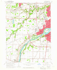
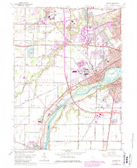
Editions of this 1964 Maumee Map
3 editions found
Other maps of this area

1900 · Toledo
USGS Topo · 1:62,500

1901 · Bowling Green
USGS Topo · 1:62,500

1903 · Bowling Green
USGS Topo · 1:62,500

1909 · Mc Clure
USGS Topo · 1:62,500

1911 · Swanton
USGS Topo · 1:62,500

1914 · Swanton
USGS Topo · 1:62,500

1934 · Rossford
USGS Topo · 1:24,000

1935 · Grand Rapids
USGS Topo · 1:24,000

1935 · Whitehouse
USGS Topo · 1:24,000

1935 · Maumee
USGS Topo · 1:24,000