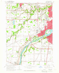
1964 Map of Maumee
USGS Topo · Published 1965About this map
The Maumee River corridor serves as the central artery for this mid-1960s study, dividing the burgeoning communities of Maumee and Perrysburg. The landscape is deeply tied to its military history, prominently featuring several commemorative sites such as the Fallen Timbers State Memorial, Fort Meigs State Memorial, and Fort Miamis State Memorial. These sites, along with the Wayne Trail Mon, ground the map in the region's significant 18th and 19th-century frontier history even as modern infrastructure expands around them.
Find a feature on this map
80 named features on this map. Tap any name to fly to it.
Don’t see what you’re looking for? This feature index may not catch every label — zoom into the map to look around manually.
Map Details
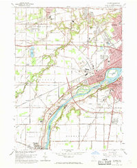
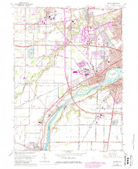
Editions of this 1964 Maumee Map
3 editions found
Other maps of this area

1900 · Toledo
USGS Topo · 1:62,500

1901 · Bowling Green
USGS Topo · 1:62,500

1903 · Bowling Green
USGS Topo · 1:62,500

1909 · Mc Clure
USGS Topo · 1:62,500

1911 · Swanton
USGS Topo · 1:62,500

1914 · Swanton
USGS Topo · 1:62,500

1934 · Rossford
USGS Topo · 1:24,000

1935 · Grand Rapids
USGS Topo · 1:24,000

1935 · Whitehouse
USGS Topo · 1:24,000

1935 · Maumee
USGS Topo · 1:24,000