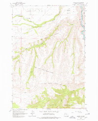
1962 Map of Maupin SW
USGS Topo · Published 1978About this map
Juniper Flat transitions into a complex system of deep canyons and ridges in this 1962 survey of North-Central Oregon. The Warm Springs Indian Reservation Boundary defines the central landscape, accompanied by the Old Indian Reservation Boundary (Handley Line), providing a clear record of historical jurisdictional limits. These boundaries traverse the rugged slopes of the Mutton Mountains and follow the drainages of Nena Creek and Wapinitia Creek.
Find a feature on this map
19 named features on this map. Tap any name to fly to it.
Don’t see what you’re looking for? This feature index may not catch every label — zoom into the map to look around manually.
Map Details
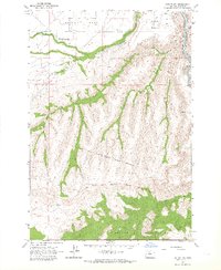
Editions of this 1962 Maupin SW Map
2 editions found
Other maps of this area

1928 · Madras
USGS Topo · 1:125,000

1930 · Dufur
USGS Topo · 1:125,000

1931 · Madras
USGS Topo · 1:125,000

1934 · Dufur
USGS Topo · 1:125,000

1953 · The Dalles
USGS Topo · 1:250,000

1955 · Bend
USGS Topo · 1:250,000

1956 · The Dalles
USGS Topo · 1:250,000

1957 · Bend
USGS Topo · 1:250,000

1957 · The Dalles
USGS Topo · 1:250,000

1958 · Bend
USGS Topo · 1:250,000