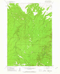
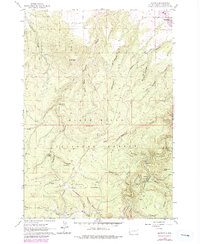
1961 Map of Maurice
USGS Topo · Published 1962About this map
Black Hills National Forest dominates this topographic landscape, where the interplay between steep terrain and vital water sources shaped early development. The small settlement of Maurice serves as a focal point near Spearfish Creek, supported by infrastructure like the Pumping Station and an aqueduct. This 1961 survey captures a time when the region's transport network relied on descriptively named routes like Tollgate Road and Sawmill Road, which navigated the deep incisions of Higgins Gulch and Robison Gulch. Named springs, including Higgins Spring, Jay Spring, and Cabin Springs, are scattered across the Flats, indicating the critical importance of reliable water for livestock and small homesteads in this vertical environment. Distinctive landmarks like Crow Peak and Citadel Rock provide clear orientation points for those tracing historical land use and early resource extraction routes through the gulches.
Find a feature on this map
35 named features on this map. Tap any name to fly to it.
Don’t see what you’re looking for? This feature index may not catch every label — zoom into the map to look around manually.
Map Details
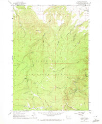
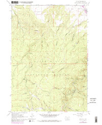
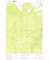
Editions of this 1961 Maurice Map
5 editions found
Other maps of this area

1894 · Deadwood
USGS Topo · 1:125,000

1898 · Sundance
USGS Topo · 1:125,000

1900 · Spearfish
USGS Topo · 1:62,500

1901 · Deadwood
USGS Topo · 1:125,000

1901 · Aladdin
USGS Topo · 1:125,000

1902 · Sundance
USGS Topo · 1:125,000

1903 · Aladdin
USGS Topo · 1:125,000

1907 · Belle Fourche
USGS Topo · 1:125,000

1907 · Redwater
USGS Topo · 1:62,500

1915 · Spearfish
USGS Topo · 1:62,500