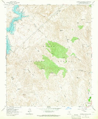
1964 Map of Maverick Mountain
USGS Topo · Published 1965About this map
The Verde River corridor anchors this mid-century survey of the Arizona interior, dominated by the waters of the Bartlett Reservoir. This landscape is defined by its network of springs and canyons within the Tonto National Forest, where a sparse human presence is marked by the Dos S Ranch and evidence of local industry at a quarry near the western shore. The map reveals a rugged topography of named peaks like Maverick Mountain and Granite Mountain, interconnected by numerous jeep trails that follow historical water routes. The naming conventions, including Chinatown Spring and Log Corral, reflect the region's ranching and frontier history. Resource management is evident through the widespread distribution of watering sites such as Carlock Tank and Ryan Tank, essential for sustaining life in the arid terrain between Indian Spring Peak and the reservoir.
Find a feature on this map
42 named features on this map. Tap any name to fly to it.
Don’t see what you’re looking for? This feature index may not catch every label — zoom into the map to look around manually.
Map Details
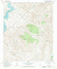
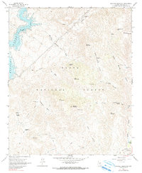
Editions of this 1964 Maverick Mountain Map
3 editions found
Other maps of this area

1904 · Ft. McDowell
USGS Topo · 1:62,500

1906 · Ft. McDowell
USGS Topo · 1:62,500

1907 · Roosevelt
USGS Topo · 1:125,000

1909 · Four Peaks
USGS Topo · 1:125,000

1912 · Roosevelt
USGS Topo · 1:125,000

1930 · Cave Creek
USGS Topo · 1:125,000

1939 · Cave Creek
USGS Topo · 1:125,000

1954 · Mesa
USGS Topo · 1:250,000

1957 · Mesa
USGS Topo · 1:250,000

1958 · Mesa
USGS Topo · 1:250,000