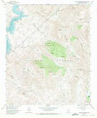
1964 Map of Maverick Mountain
USGS Topo · Published 1971About this map
Bartlett Reservoir and the Verde River anchor the northwestern corner of this mid-century desert landscape, where water resources were carefully managed within the Tonto National Forest. The map documents a network of vital water sources in an arid environment, including Chinatown Spring, Indian Spring, and Maverick Spring, which supported cattle ranching and travel through the high desert. To the southeast, the small settlement of Camp Creek and the Dos S Ranch sit near Sycamore Creek, illustrating the sparse but strategic human presence in the region. The terrain is defined by prominent peaks like Maverick Mountain, Indian Spring Peak, and Granite Mountain, separated by deep drainage systems such as Maverick Canyon and Log Corral Canyon. Multiple Jeep Trails wind through the topography, connecting remote landmarks like Round Butte and Red Mountain.
Find a feature on this map
41 named features on this map. Tap any name to fly to it.
Don’t see what you’re looking for? This feature index may not catch every label — zoom into the map to look around manually.
Map Details
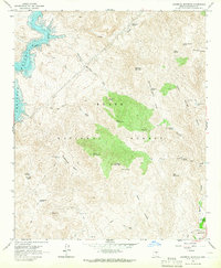
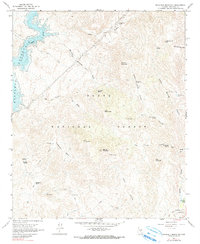
Editions of this 1964 Maverick Mountain Map
3 editions found
Other maps of this area

1904 · Ft. McDowell
USGS Topo · 1:62,500

1906 · Ft. McDowell
USGS Topo · 1:62,500

1907 · Roosevelt
USGS Topo · 1:125,000

1909 · Four Peaks
USGS Topo · 1:125,000

1912 · Roosevelt
USGS Topo · 1:125,000

1930 · Cave Creek
USGS Topo · 1:125,000

1939 · Cave Creek
USGS Topo · 1:125,000

1954 · Mesa
USGS Topo · 1:250,000

1957 · Mesa
USGS Topo · 1:250,000

1958 · Mesa
USGS Topo · 1:250,000