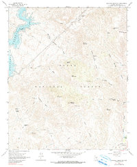
1964 Map of Maverick Mountain
USGS Topo · Published 1980About this map
Bartlett Reservoir dominates the northwestern corner of this landscape, its shoreline defined by underwater contours surveyed by the Salt River Project. The surrounding terrain within the Tonto National Forest is a complex network of high peaks and deep washes, centered on the heights of Maverick Mountain and Granite Mountain. This mid-century survey captures a backcountry environment where movement was dictated by topographical breaks like Log Corral Canyon and Maverick Mountain Wash Trail.
Find a feature on this map
40 named features on this map. Tap any name to fly to it.
Don’t see what you’re looking for? This feature index may not catch every label — zoom into the map to look around manually.
Map Details
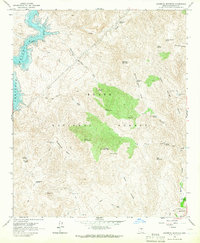
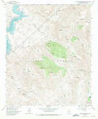
Editions of this 1964 Maverick Mountain Map
3 editions found
Other maps of this area

1904 · Ft. McDowell
USGS Topo · 1:62,500

1906 · Ft. McDowell
USGS Topo · 1:62,500

1907 · Roosevelt
USGS Topo · 1:125,000

1909 · Four Peaks
USGS Topo · 1:125,000

1912 · Roosevelt
USGS Topo · 1:125,000

1930 · Cave Creek
USGS Topo · 1:125,000

1939 · Cave Creek
USGS Topo · 1:125,000

1954 · Mesa
USGS Topo · 1:250,000

1957 · Mesa
USGS Topo · 1:250,000

1958 · Mesa
USGS Topo · 1:250,000