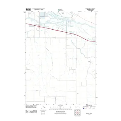
2011 Map of Maxwell SW
USGS Topo · Published 2011About this map
The South Platte River and its intricate network of waterways dominate this 2011 survey south of North Platte. The confluence area where the river joins the main Platte River is shaped by the Tri County Supply Canal and the Upper Diversion Dam, reflecting the region's heavy reliance on water management for agriculture and infrastructure. The landscape transitions from the river bottomlands at Brandy Island to the higher elevations of Moran Canyon in the southeast.
Find a feature on this map
43 named features on this map. Tap any name to fly to it.
Don’t see what you’re looking for? This feature index may not catch every label — zoom into the map to look around manually.
Map Details
Editions of this 2011 Maxwell SW Map
This is the sole edition of this map. No revisions or reprints were ever made.
Other maps of this area

1899 · North Platte
USGS Topo · 1:125,000

1902 · North Platte
USGS Topo · 1:125,000

1954 · McCook
USGS Topo · 1:250,000

1954 · North Platte
USGS Topo · 1:250,000

1956 · North Platte
USGS Topo · 1:250,000

1956 · Wellfleet NW
USGS Topo · 1:24,000

1956 · Wellfleet NE
USGS Topo · 1:24,000

1957 · North Platte
USGS Topo · 1:250,000

1957 · McCook
USGS Topo · 1:250,000

1958 · McCook
USGS Topo · 1:250,000