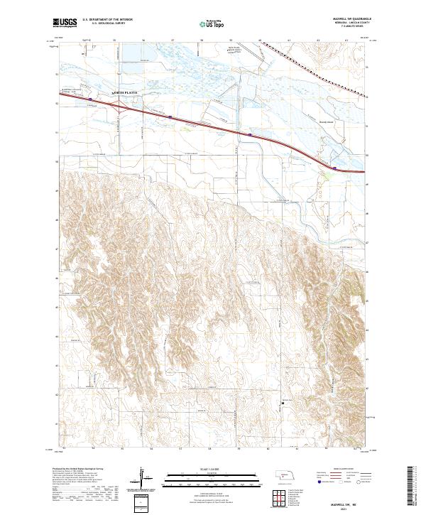
2021 Map of Maxwell SW
USGS Topo · Published 2021About this map
North Platte serves as the focal point for this landscape where the North Platte River and South Platte River converge to form the Platte River. The geography is defined by complex water management and transportation corridors, featuring the Tri-County Supply Canal and several ancient drainage patterns like the Fremont Slough. Land use transitions from the industrial and educational infrastructure near the city, such as Mid Plains Community College - North and the North Platte Regional Airport Lee Bird Field, to the more dissected terrain of the south. This southern portion is marked by Moran Canyon and rural landmarks like the Miriam Cem, which sit among a network of section-line roads such as S Platte View Rd and District 31 School Rd. The presence of Brandy Island near the confluence highlights the shifting nature of these Nebraska riverbeds over time.
Find a feature on this map
43 named features on this map. Tap any name to fly to it.
Don’t see what you’re looking for? This feature index may not catch every label — zoom into the map to look around manually.
Map Details
Editions of this 2021 Maxwell SW Map
This is the sole edition of this map. No revisions or reprints were ever made.
Other maps of this area

1899 · North Platte
USGS Topo · 1:125,000

1902 · North Platte
USGS Topo · 1:125,000

1954 · McCook
USGS Topo · 1:250,000

1954 · North Platte
USGS Topo · 1:250,000

1956 · North Platte
USGS Topo · 1:250,000

1956 · Wellfleet NW
USGS Topo · 1:24,000

1956 · Wellfleet NE
USGS Topo · 1:24,000

1957 · North Platte
USGS Topo · 1:250,000

1957 · McCook
USGS Topo · 1:250,000

1958 · McCook
USGS Topo · 1:250,000