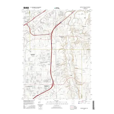
2016 Map of Mayfield Heights
USGS Topo · Published 2016About this map
The Chagrin River carves a deep valley through the eastern edge of this landscape, separating the dense residential grids of Mayfield Heights and Lyndhurst from the wooded bluffs of Gates Mills. This territory reflects a sophisticated suburban development pattern, where large-scale institutions like the Borromeo Seminary and Rabbinical Coll Telshe occupy significant footprints alongside expansive memorial grounds such as Whitehaven Memorial Park and Acacia Park Cem.
Find a feature on this map
51 named features on this map. Tap any name to fly to it.
Don’t see what you’re looking for? This feature index may not catch every label — zoom into the map to look around manually.
Map Details
Editions of this 2016 Mayfield Heights Map
This is the sole edition of this map. No revisions or reprints were ever made.
Other maps of this area

1901 · Euclid
USGS Topo · 1:62,500

1903 · Cleveland
USGS Topo · 1:62,500

1903 · Euclid
USGS Topo · 1:62,500

1905 · Mentor
USGS Topo · 1:62,500

1906 · Chagrin Falls
USGS Topo · 1:62,500

1907 · Mentor
USGS Topo · 1:62,500

1908 · Chagrin Falls
USGS Topo · 1:62,500

1950 · Cleveland
USGS Topo · 1:250,000

1953 · South Russell
USGS Topo · 1:24,000

1953 · Chagrin Falls
USGS Topo · 1:24,000