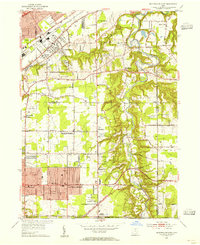
1953 Map of Mayfield Heights
USGS Topo · Published 1955About this map
The Chagrin River valley defines the eastern landscape of this mid-century survey, where the river carves a deep, wooded corridor through the Chagrin Reservation. This natural boundary separates the growing residential developments of Mayfield Heights and Lyndhurst from the more rural, estates-dominated hills of Gates Mills and Waite Hill. The map documents a period of suburban expansion anchored by prominent institutions, including the Borromeo Seminary, Gilmour Academy, and the Hawken Sch.
Find a feature on this map
77 named features on this map. Tap any name to fly to it.
Don’t see what you’re looking for? This feature index may not catch every label — zoom into the map to look around manually.
Map Details
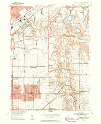
Editions of this 1953 Mayfield Heights Map
2 editions found
Other maps of this area

1901 · Euclid
USGS Topo · 1:62,500

1903 · Cleveland
USGS Topo · 1:62,500

1903 · Euclid
USGS Topo · 1:62,500

1905 · Mentor
USGS Topo · 1:62,500

1906 · Chagrin Falls
USGS Topo · 1:62,500

1907 · Mentor
USGS Topo · 1:62,500

1908 · Chagrin Falls
USGS Topo · 1:62,500

1950 · Cleveland
USGS Topo · 1:250,000

1953 · South Russell
USGS Topo · 1:24,000

1953 · Chagrin Falls
USGS Topo · 1:24,000