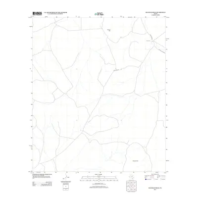
2012 Map of Mayfield Hills
USGS Topo · Published 2012About this map
Mayfield Hills anchor the southern portion of this high-desert landscape in Culberson County, characterized by the intermittent drainages and isolated landmarks typical of the Trans-Pecos region. In the early 21st century, the terrain is defined by its remoteness, where significant elevation markers like Hogeye Mtn provide the primary navigational points across the open range. The sparse human footprint in this area is centered on ranching interests, most notably the Moon Ranch. A thin network of unpaved transit routes, including Moon Ranch Rd and Plateau Valentine Rd, represents the only infrastructure traversing these arid flats. The map illustrates a classic Texas cattle-country layout where immense distances separate established ranching hubs and seasonal watercourses.
Find a feature on this map
5 named features on this map. Tap any name to fly to it.
Don’t see what you’re looking for? This feature index may not catch every label — zoom into the map to look around manually.
Map Details
Editions of this 2012 Mayfield Hills Map
This is the sole edition of this map. No revisions or reprints were ever made.
Other maps of this area

1892 · Chispa
USGS Topo · 1:125,000

1894 · Valentine
USGS Topo · 1:125,000

1895 · Chispa
USGS Topo · 1:125,000

1897 · Valentine
USGS Topo · 1:125,000

1897 · Chispa
USGS Topo · 1:125,000

1943 · Valentine
USGS Topo · 1:125,000

1959 · Marfa
USGS Topo · 1:250,000

1965 · Marfa
USGS Topo · 1:250,000
1972 · Chispa Mountain NW
USGS Topo · 1:24,000

1972 · Chispa
USGS Topo · 1:24,000